ATI
CONSULTING


|
Northwestern
Lower Michigan Trail Guide |
|
|
|||||||


| • HOME • | |
|
SERVICES OFFERED |
|
| • | Consulting and Support |
| • | Web Site Design
and Domain Services |
|
COMPUTER & INTERNET RESOURCES |
|
| • | Computer Resources |
| • | Internet Resources |
| • | Recommendations
For Healthy Computers |
| • | Submit
Your Site to Search Engines |
BENZIE COUNTY, MICHIGAN RESOURCES |
|
| • | Benzie
County Michigan Web Site Directory (separate site) |
| • | Internet Service
Providers (ISPs) in the Benzie County Michigan Area |
OUTDOOR RESOURCES |
|
| • | Canoe & Kayak Links |
| • | Ebike Essentials |
| • | NW Michigan River Guide |
| • | NW Michigan Trail Guide |
| • | Railroad Routes of NW MI |
BOOKS |
|
| • | Benzie County Trails |
| • | Benzie
County Rivers, Lakes, and Creeks |
| • | Grand
Traverse and Leelanau Counties — Rivers and Lakes |
| • | The Savvy Paddler — Recreational Kayaking |
|
|
|

|
|
|
WEB SITE ©
Copyright |

|
This guide provides the details for many |
|
|
|
||||||
Notes about the details on this page:
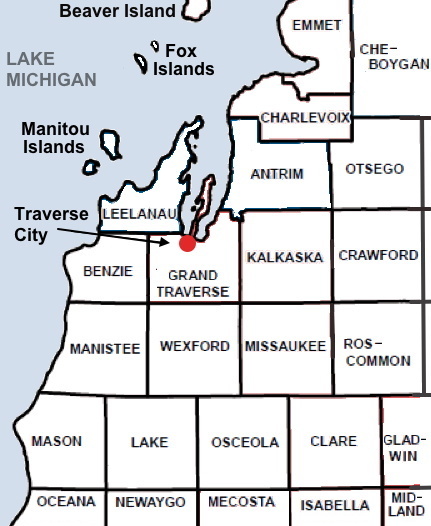
- Geographic limits of the areas covered on this Web page:
- Within roughly an hour / 60 miles from Traverse City
- By towns/cities: Atwood, Ellsworth, East Jordan, (south of) Boyne City, Boyne Falls, (west of) Gaylord, Grayling, west of Higgins and Houghton Lakes, McBain, Tustin, (north of) Luther, (south of) Wellston, and Manistee
- By counties: all of Antrim, Benzie, Grand Traverse, Kalkaska, Leelanau, Manistee, and Wexford Counties; most of Missaukee County; as well as southern Charlevoix, southwestern Otsego, western Crawford, northern Lake Counties, and the extreme northwestern part of Roscommon County.
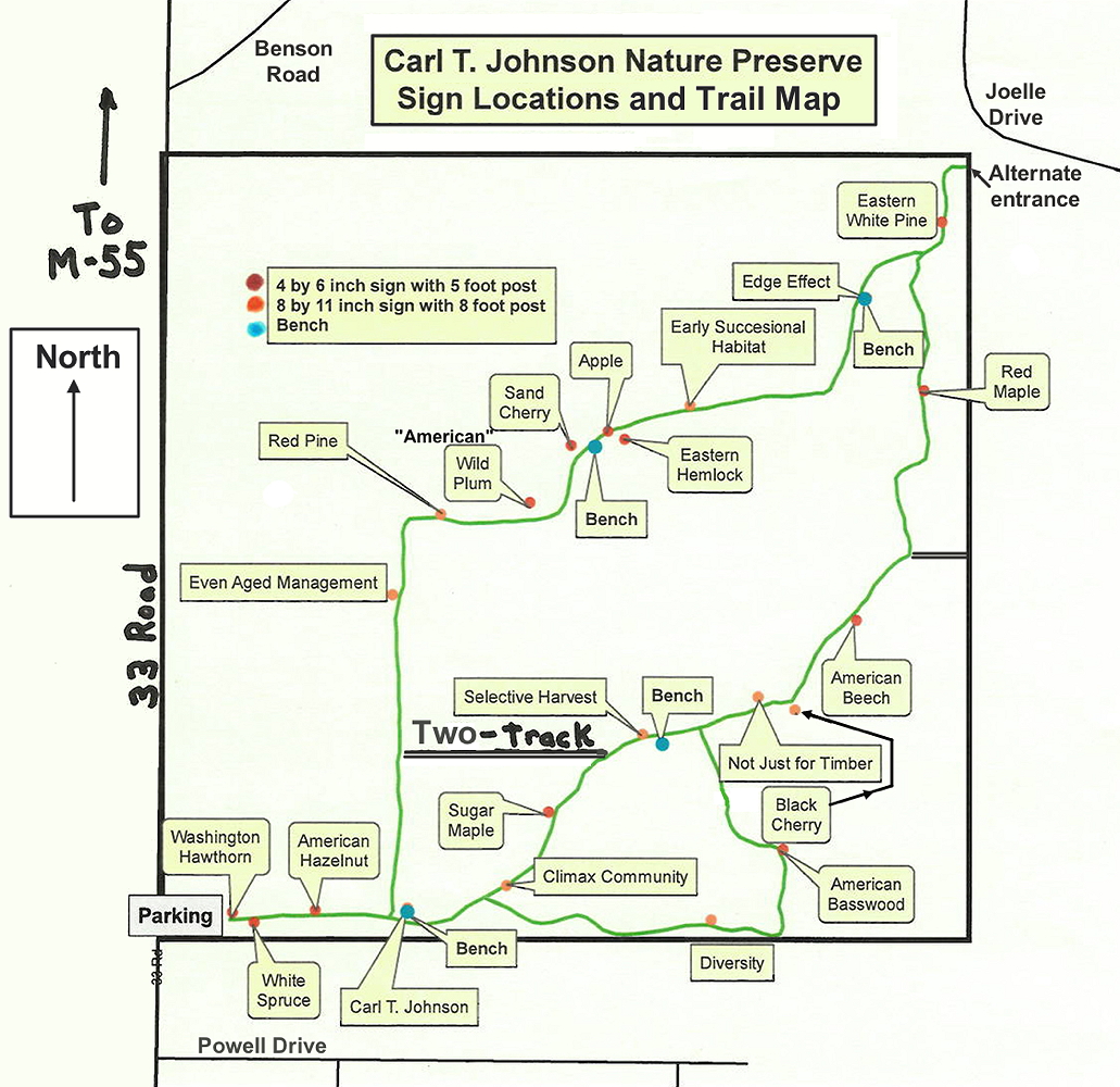
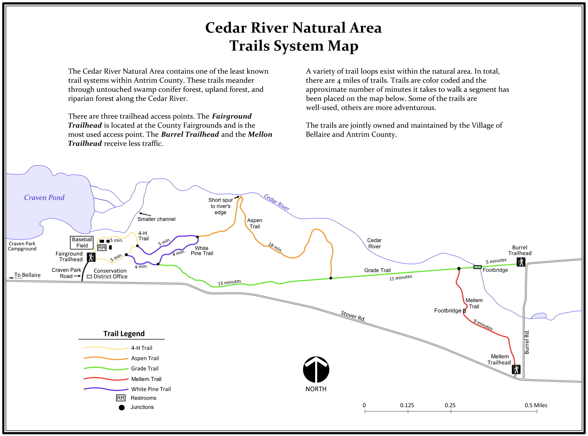
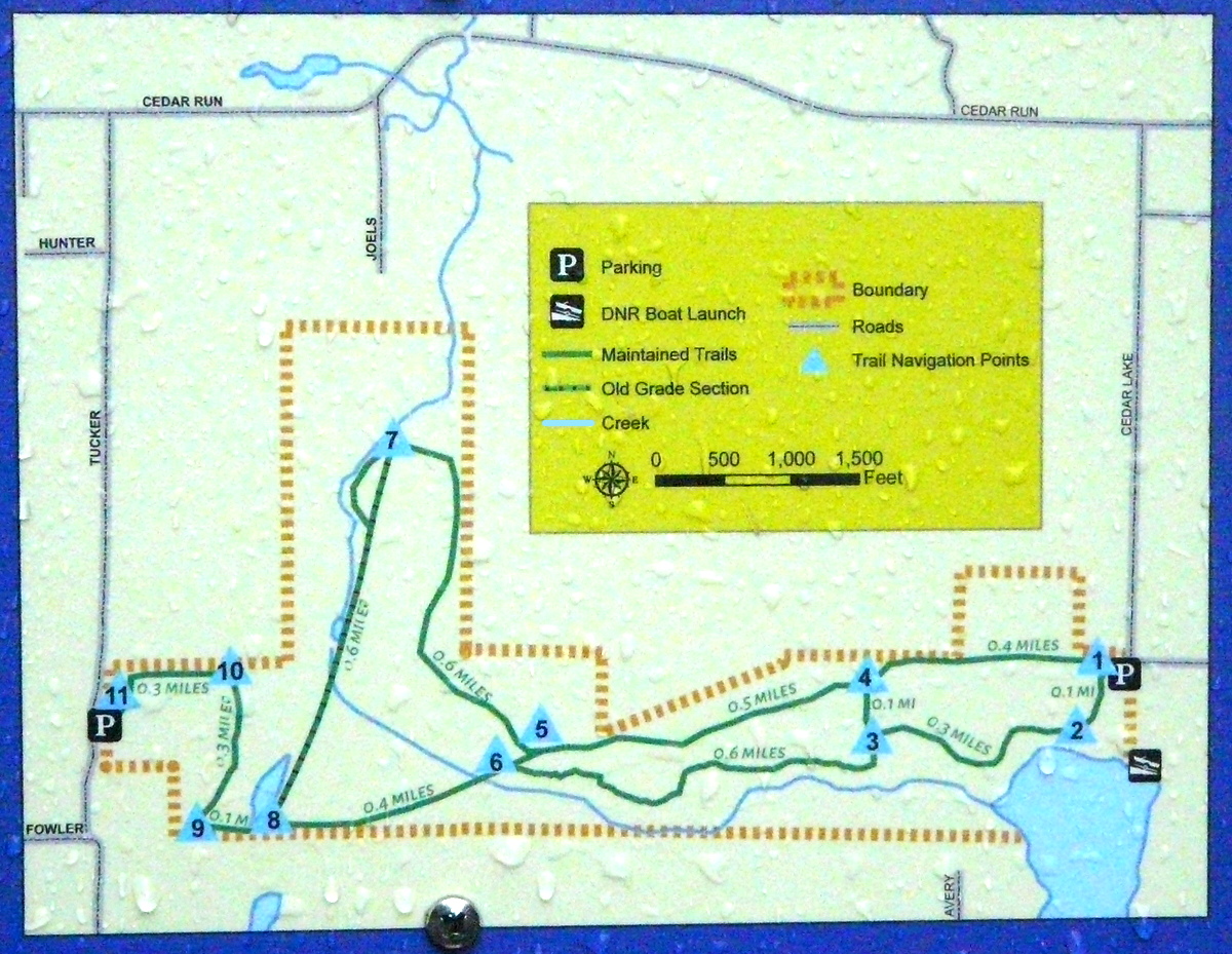
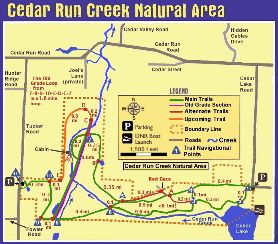
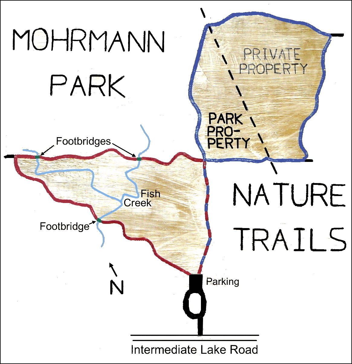
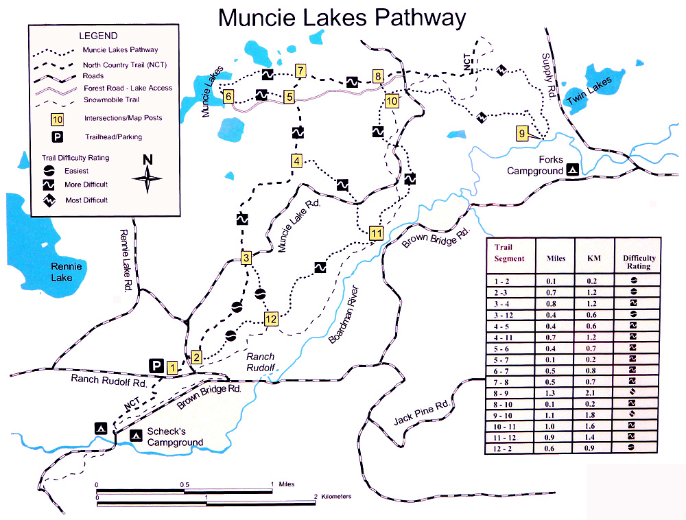
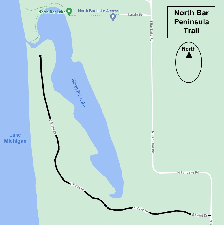
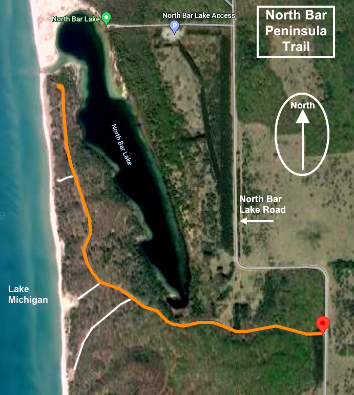
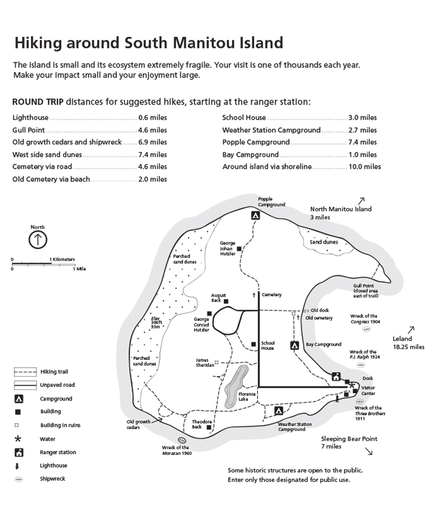
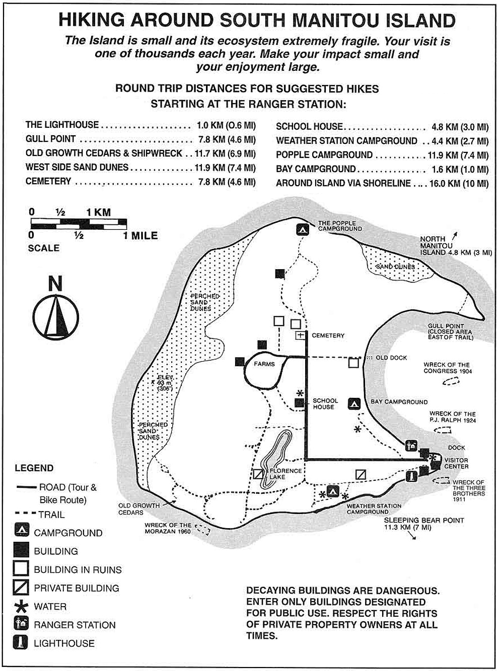
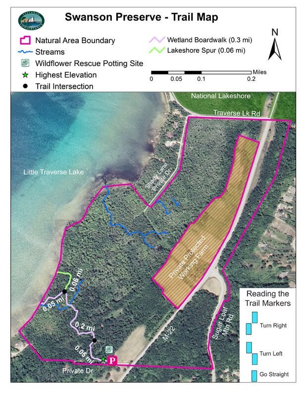
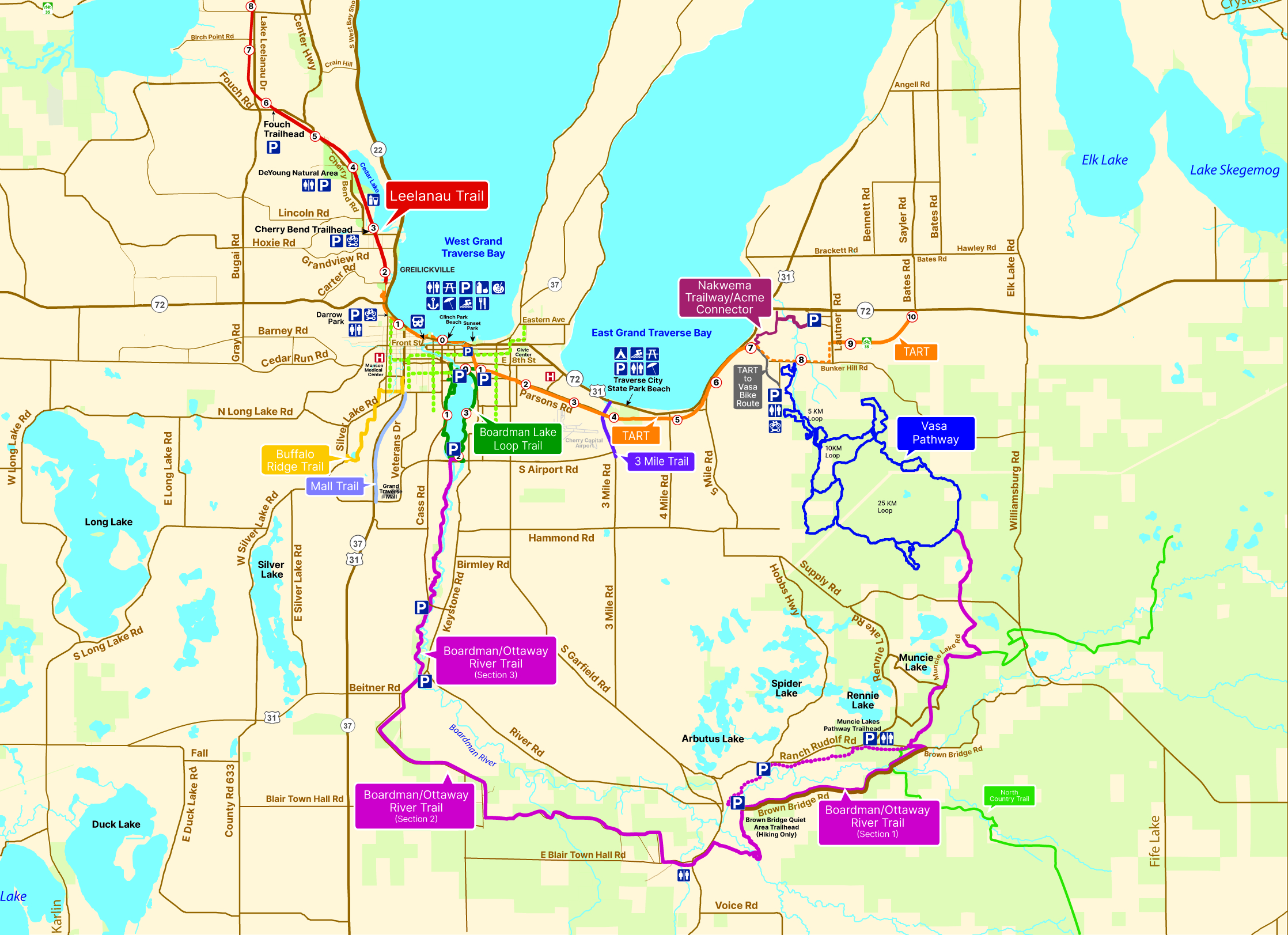
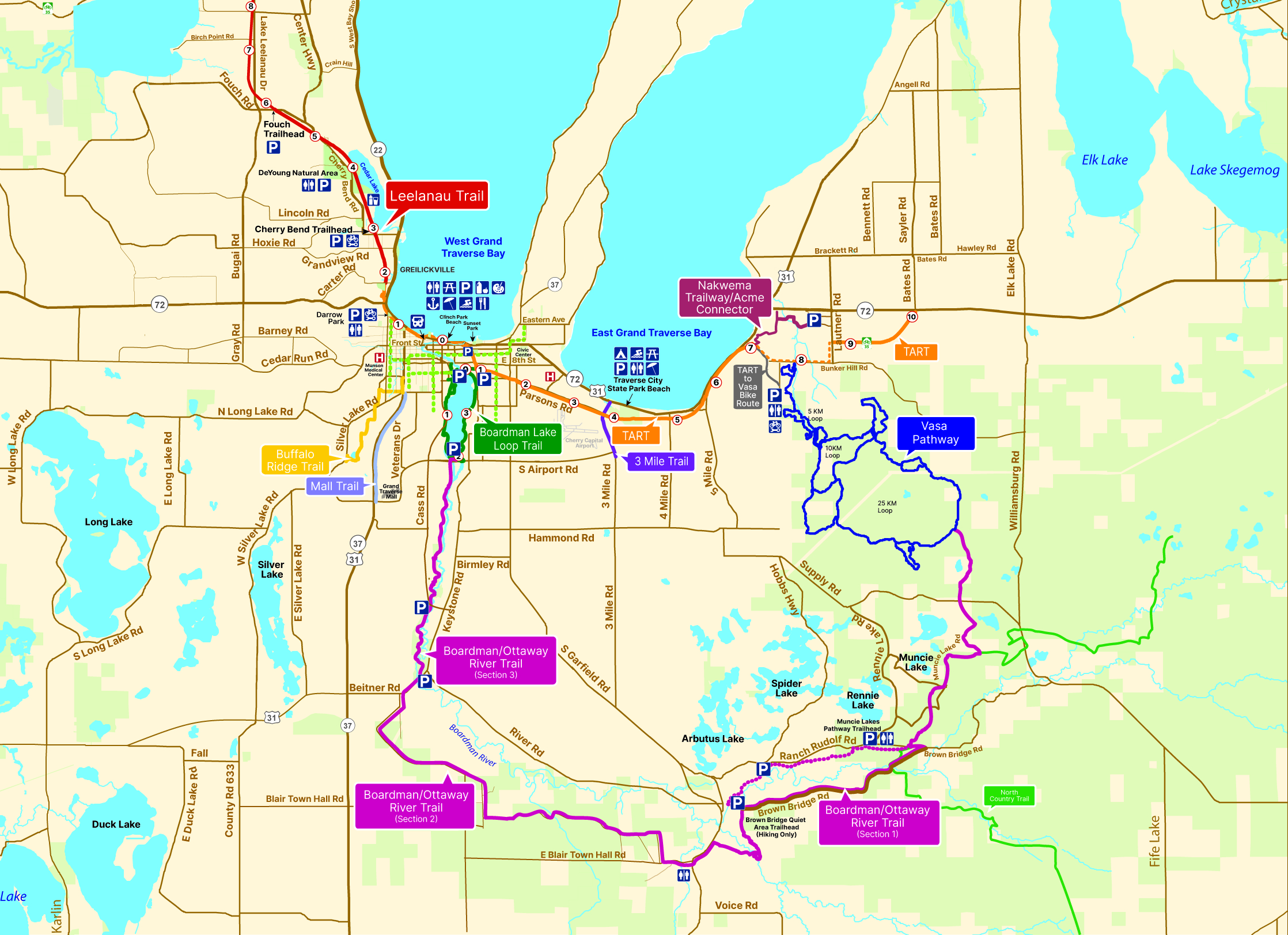
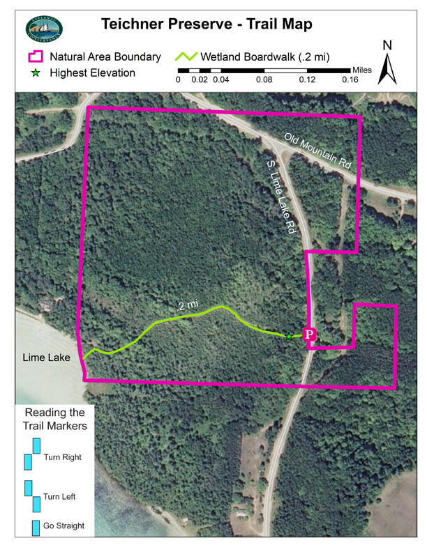
- Trail maps
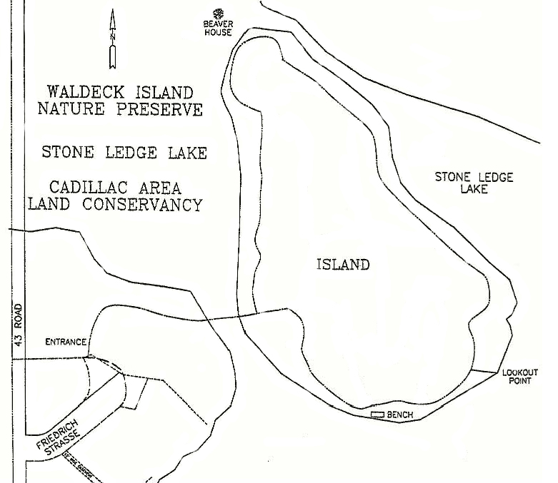
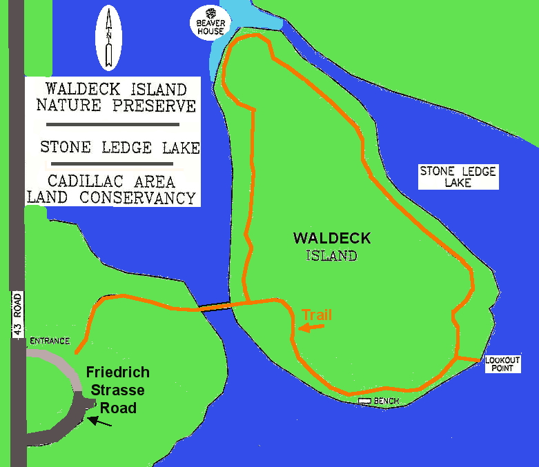
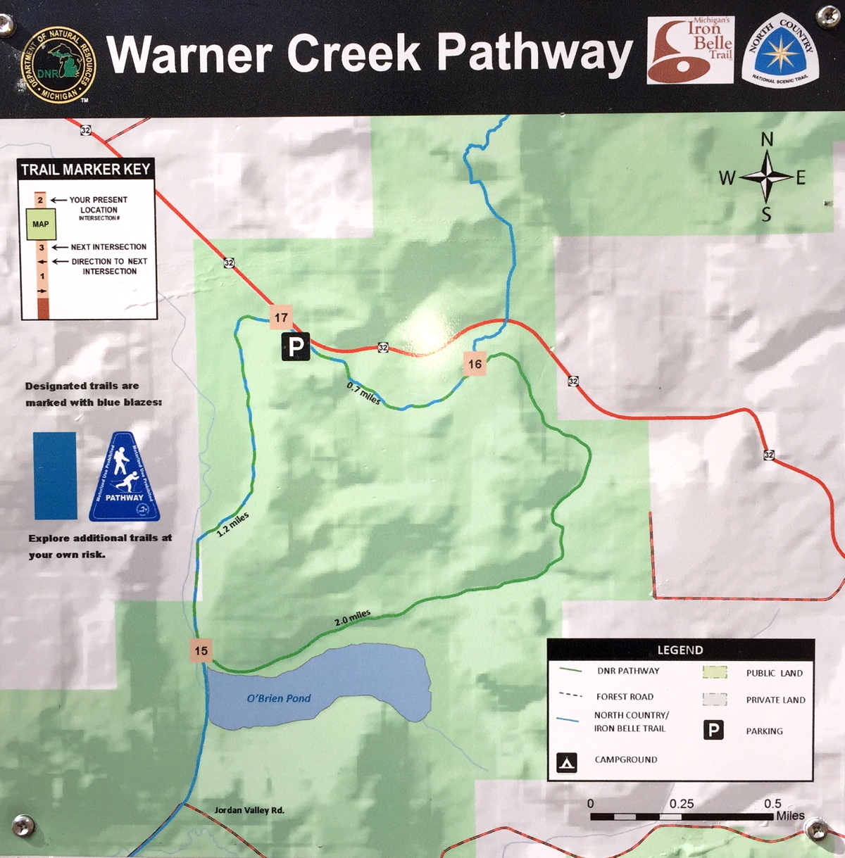
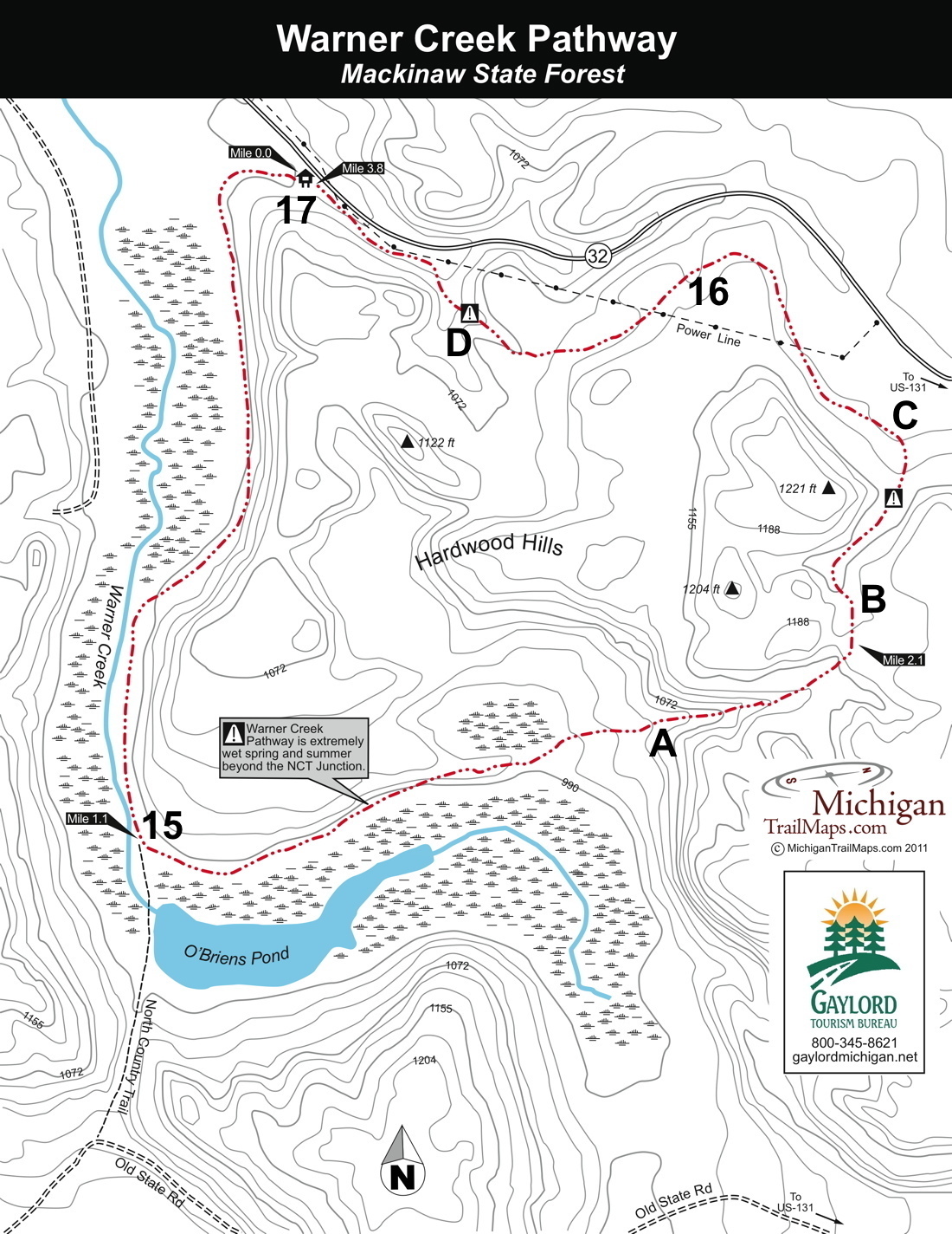
- Trails and trail maps are sometimes updated by the trail owners, so the trail maps on this page may be out of date, or not point to the latest versions. Visit the official Web page for a trail for the latest information.
- Most areas have trail maps posted on-site. Those should be the most up-to-date (but are not always).
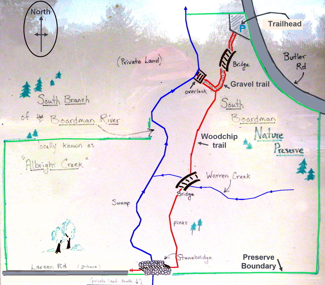
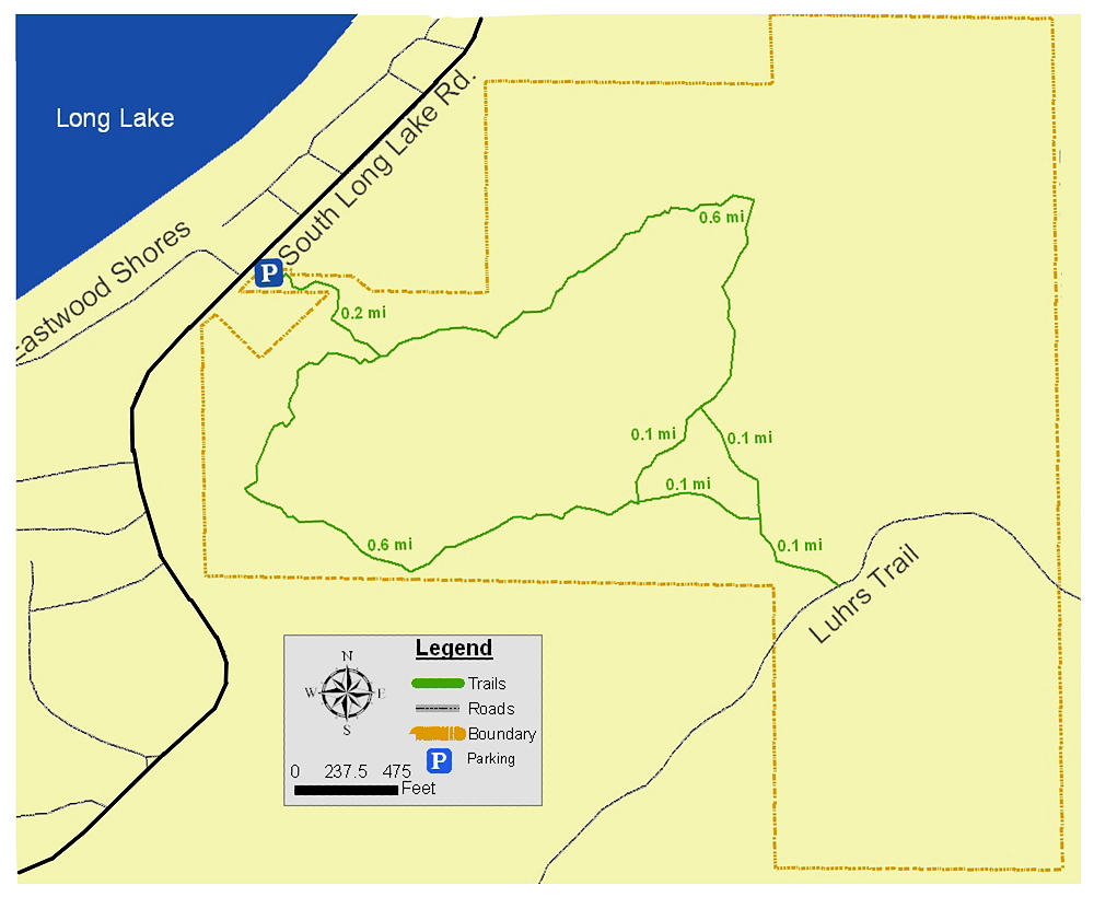
- In a few cases no trail map existed, so I created one.
- In many cases I offer a copy of the trail map that I saved – as protection from Web sites that change and sometimes even "lose" their own trail maps.
- Trail names listed in the main table above may be a shorter version than their official name.
- Web addresses were correct at the time of writing, but they can and do change often.
- Some road distances, trail lengths, and hiking times are rough estimates.
- A few of the trails are paved and therefore are also used for road biking and inline skating.
- Road map of area — is a link to Google Maps where you can view the area as a road map, a satellite image, or in terrain view.
- The
 symbol denotes where you can find the trailhead (and parking in many cases) on Google
Maps where you can view the location as a road map, a satellite image, or in terrain
view.
symbol denotes where you can find the trailhead (and parking in many cases) on Google
Maps where you can view the location as a road map, a satellite image, or in terrain
view.
- Directions to trails are from the nearest town (or nearest major intersection)
- A few trailheads and access points actually have restroom facilities. But even if a restroom or Port-a-John is present in the summer, one cannot expect it to be available or open at other times. To be safe, assume no restroom is present and therefore "prepare" ahead of time.
- All details were correct (or as correct as could be determined) at the time of writing, but they are, of course, subject to change.
You might also:
- See below for...
- Most scenic trails — those that are considered the most scenic for on reason or another
- Very easy trails for those with limited mobility
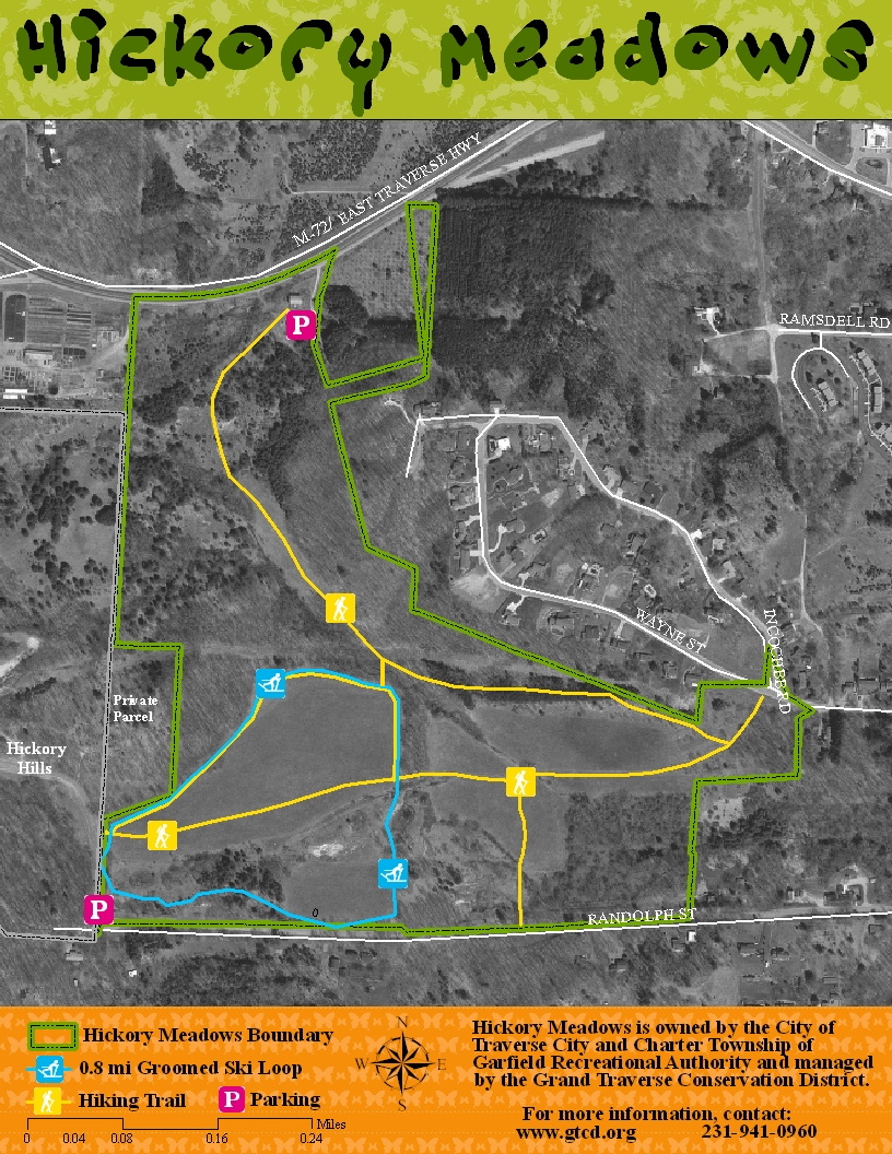
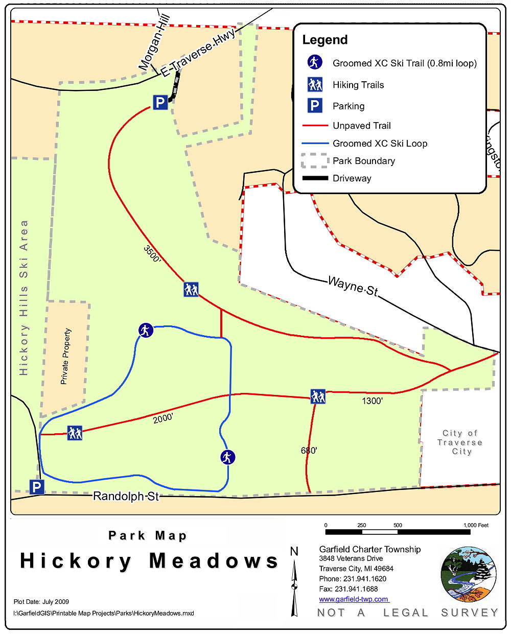
- Groomed trails for cross-country (XC) skiing
- Paved (or fine crushed stone) trails for road bikes, ebikes, and more
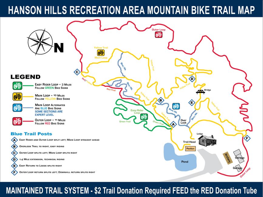
- Mountain bike trails where Class 1 ebikes are allowed
- Web sites to watch — to check for new trails added since this page was last updated.
- Please let me know if you have anything to add, change, suggest, or improve.
- Know that I thank all of you very much who have contributed to this page!
Areas within the Sleeping Bear Dunes National Lakeshore (SBDNL) require a national park pass:
The use of any area in the SBDNL requires a national park pass. Here is the list of Sleeping Bear Dunes National Lakeshore areas covered on this Web page. See here for more details about SBDNL passes.
Areas requiring a Michigan Recreation Passport:
Many state-run areas (such as state parks, recreation areas, state forest campgrounds, designated boating access sites, and parking lots at trailheads for non-motorized trails) require a Michigan Recreation Passport to use them. A designated site appears to mean an improved one, such as with a parking lot and restroom.
Several of the DNR sites and areas on this page now have this requirement. And the number of locations involved is expanding so be prepared for this at any DNR site.
See this Web page for more details.
All the trails have beauty in one way or another. Most travel through very pretty woods, and many go next to a river or creek, alongside or to an inland lake, or to a Lake Michigan beach.
A few trails take you to where a river or creek empties into Lake Michigan. (Note that these are just of few of several publicly-accessible places where a river or creek empties into the lake in the covered northwestern Michigan area.)
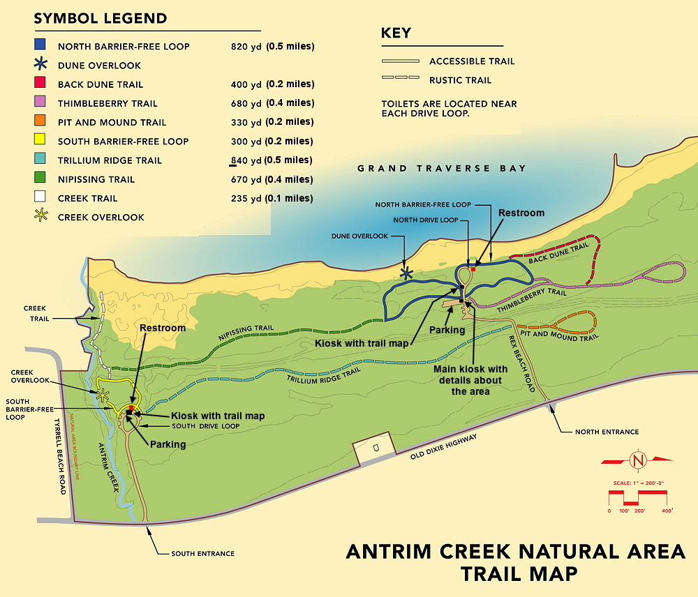
- Antrim Creek Area – Antrim Creek, at the south end of property
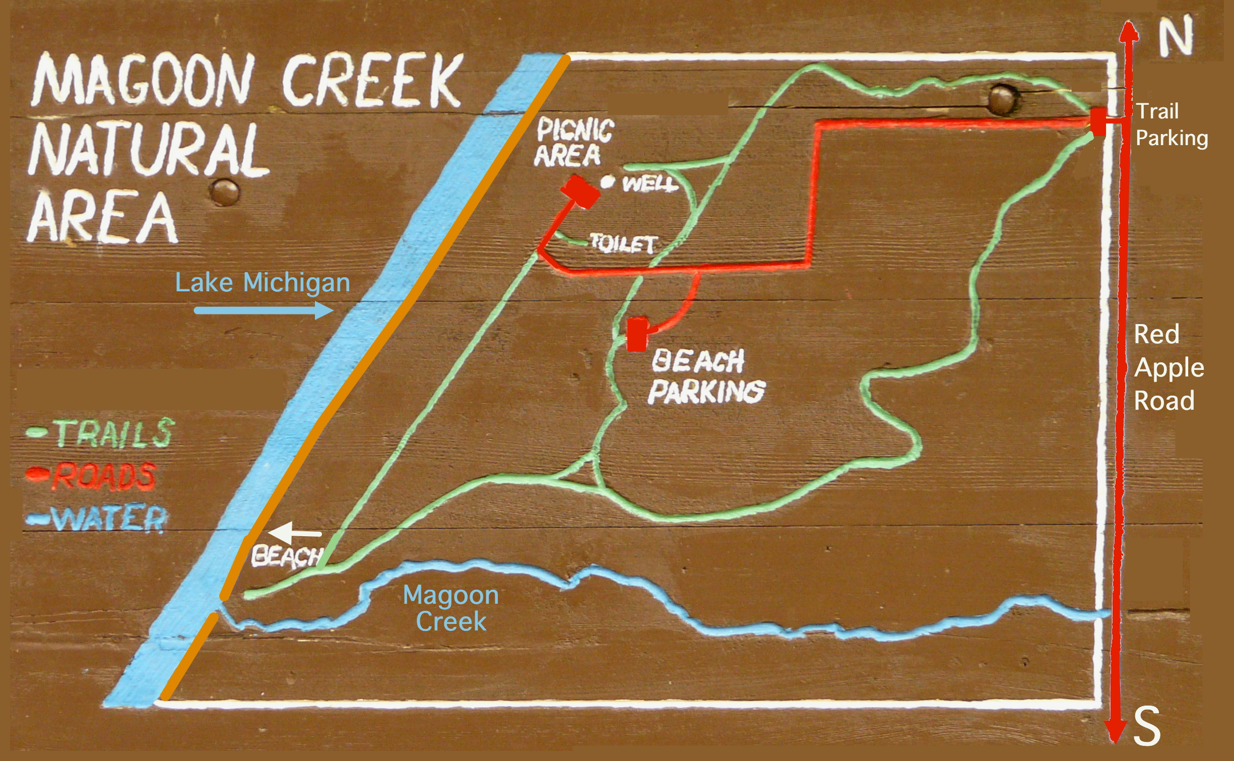
- Magoon Creek Area – Magoon Creek, at the south end of property
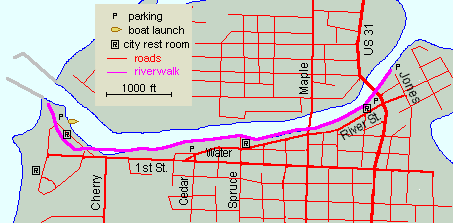
- Manistee Riverwalk – The Manistee River by the Manistee Lighthouse
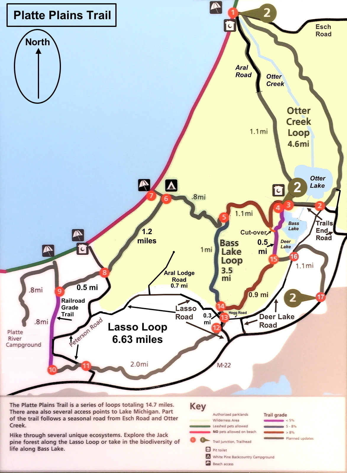
- Platte Plains Trail – Otter Creek south of the Esch Road Beach
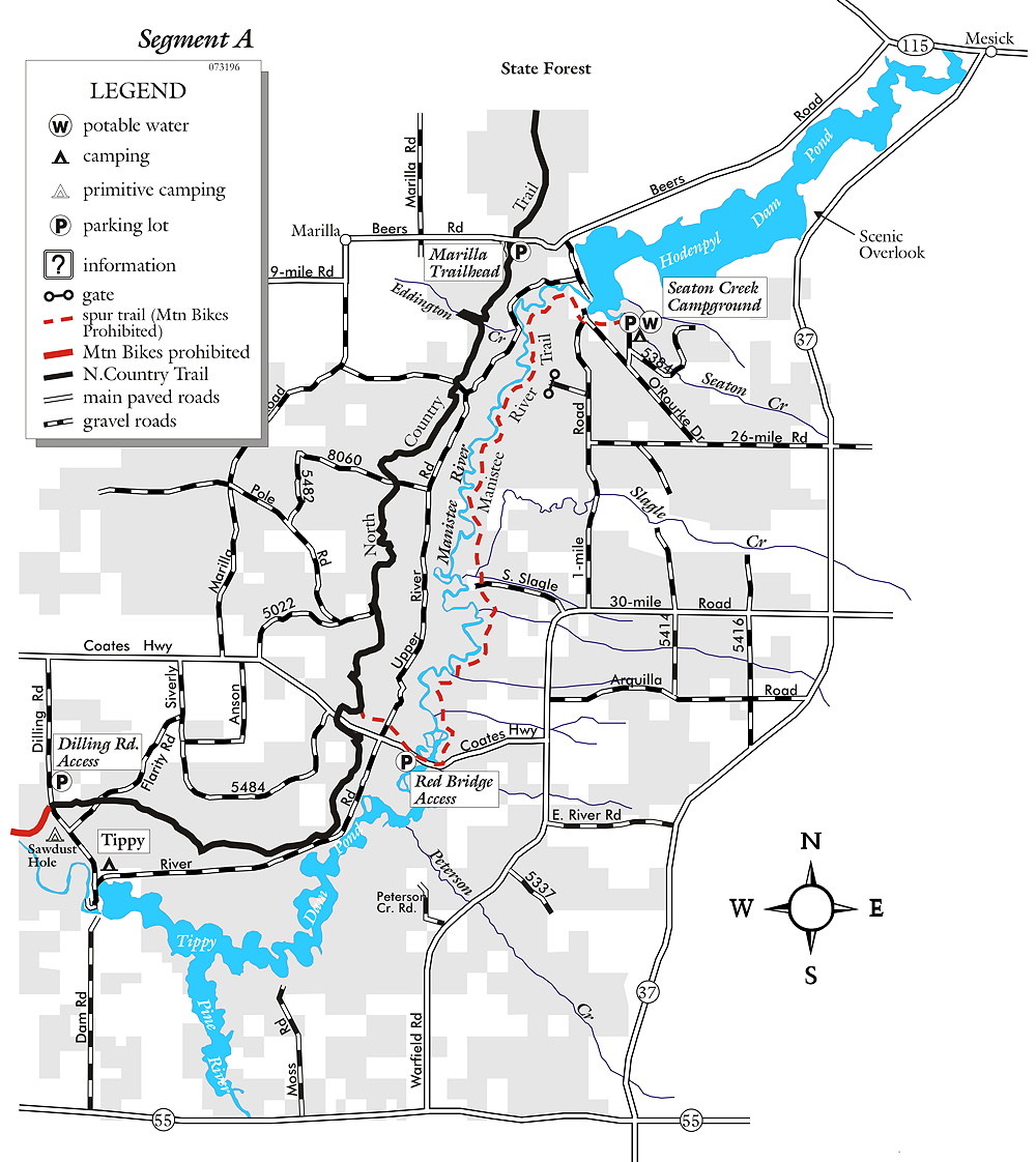
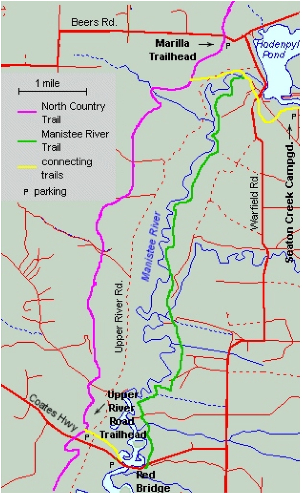
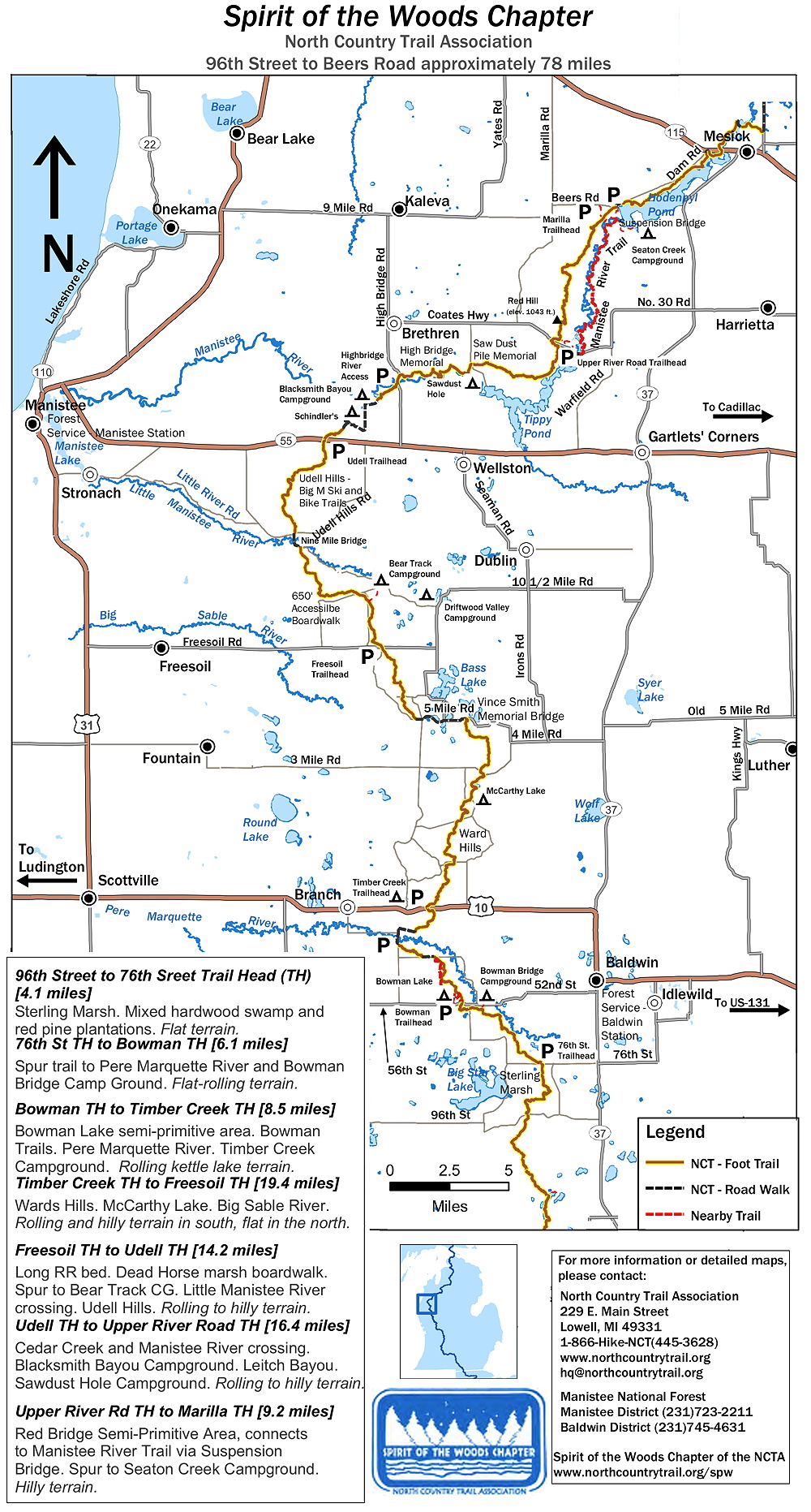
The Manistee River Trail, which travels above but next to the Manistee River, is a gem if you like continual cool views up and down from above a river. It runs from south of the Hodenpyl Dam to "Red Bridge" where Coates Highway crosses the river. There are also several creeks that empty in the river along the way, several with small waterfalls.
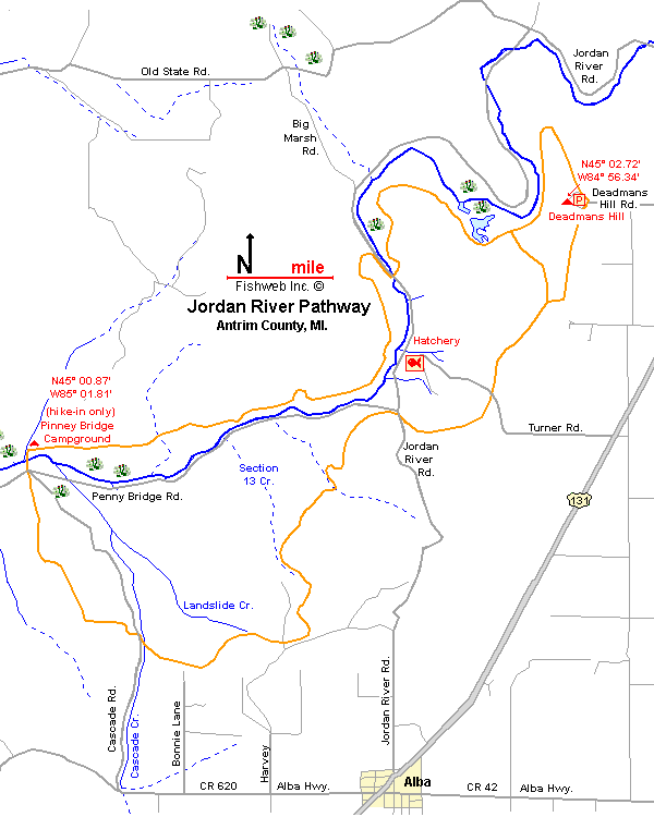
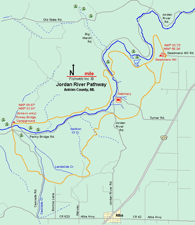
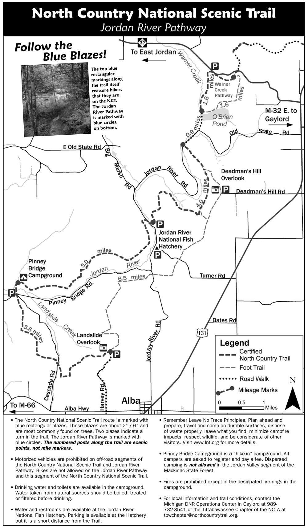
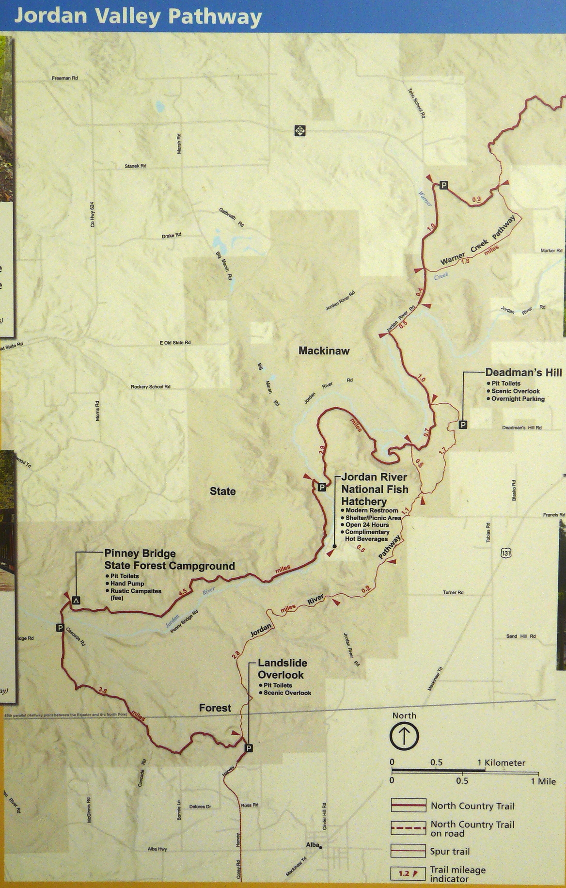
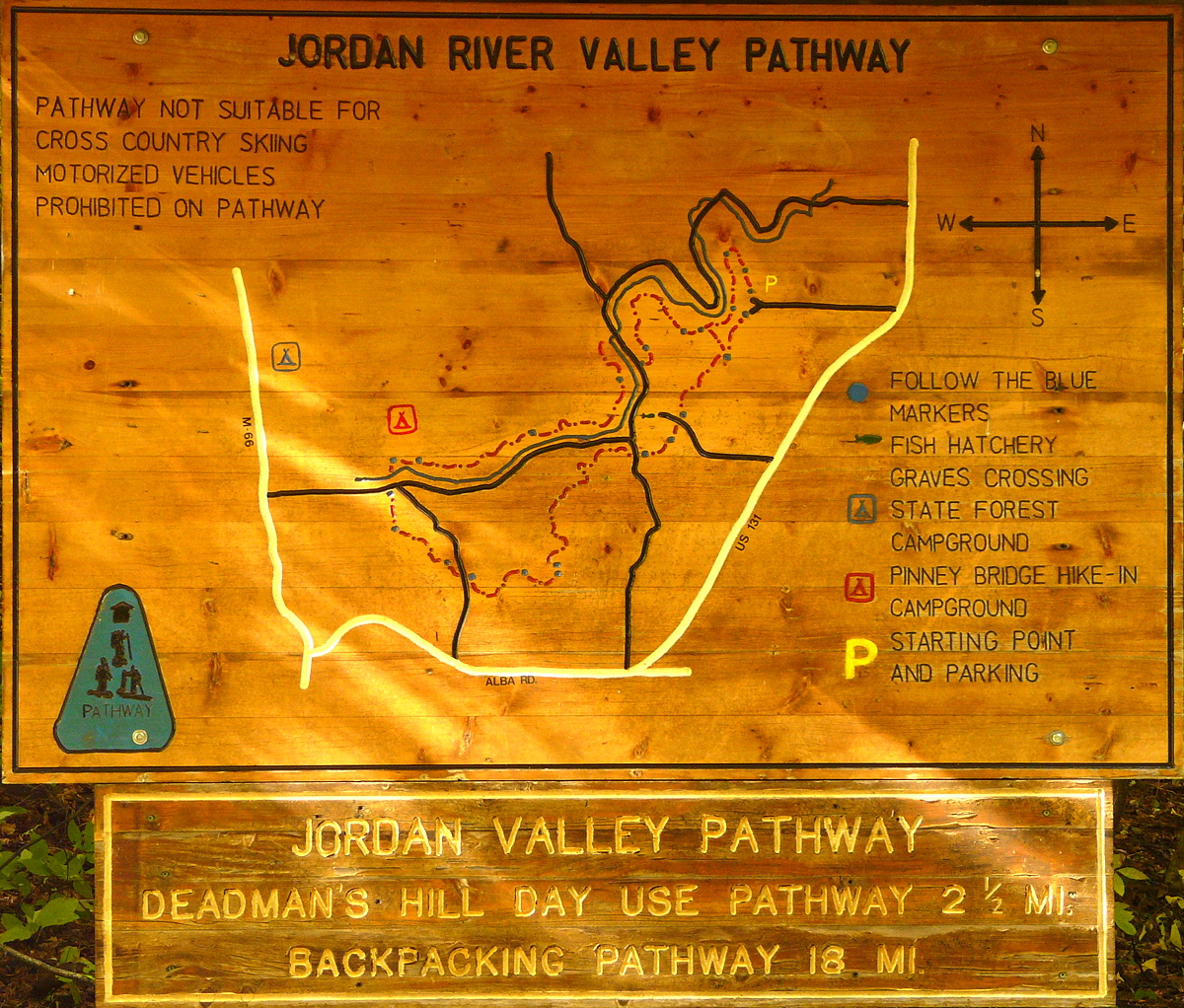
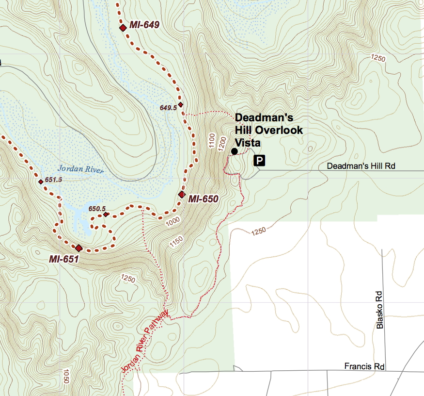
In the fall during full color, you will be rewarded with spectacular vistas from Deadman's Hill and Landslide Overlook on the Jordan Valley Pathway.
For a great vista high above a river, it's hard to beat that from the High Rollway in northern central Wexford County where there's a great view from high above the Manistee River and looking far to the south. During the fall it's especially breathtaking. This area is along the North Country Trail east of Buckley, south of Kingsley, and west of the Baxter Bridge. There are details at the link given.
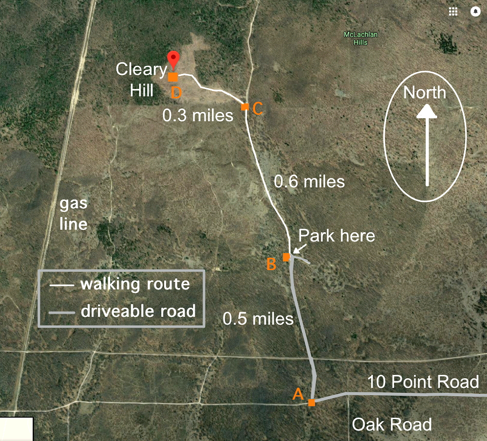
Cleary Hill is the highest point in Kalkaska County at 1476 feet. It's a hill you can walk to where there's a great nearly 360-degree view. It's said to be the best view from any of Michigan's lower peninsula county high points.
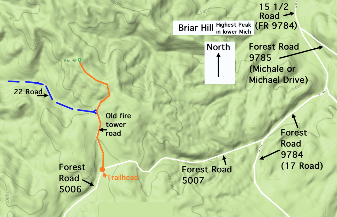
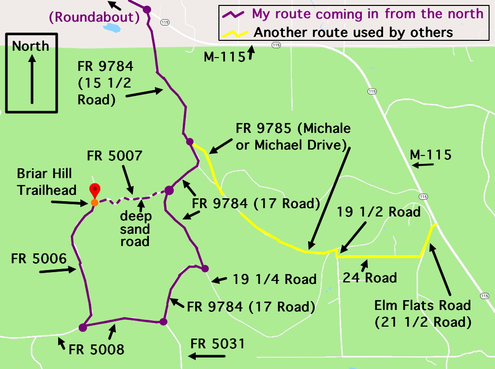
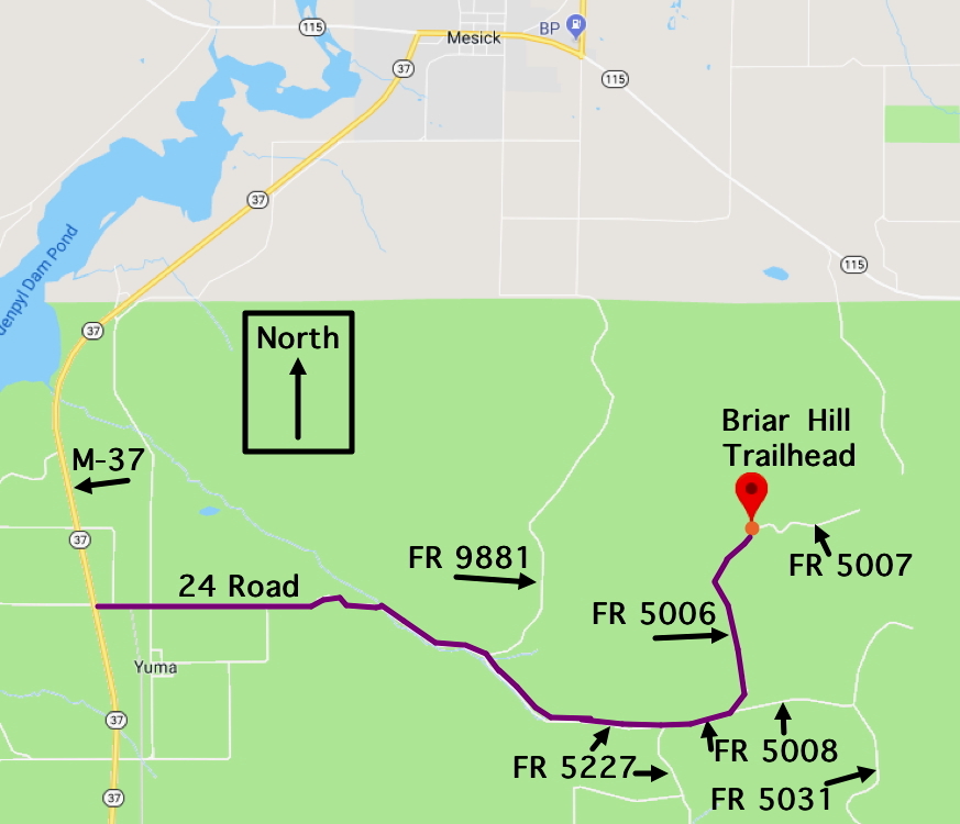
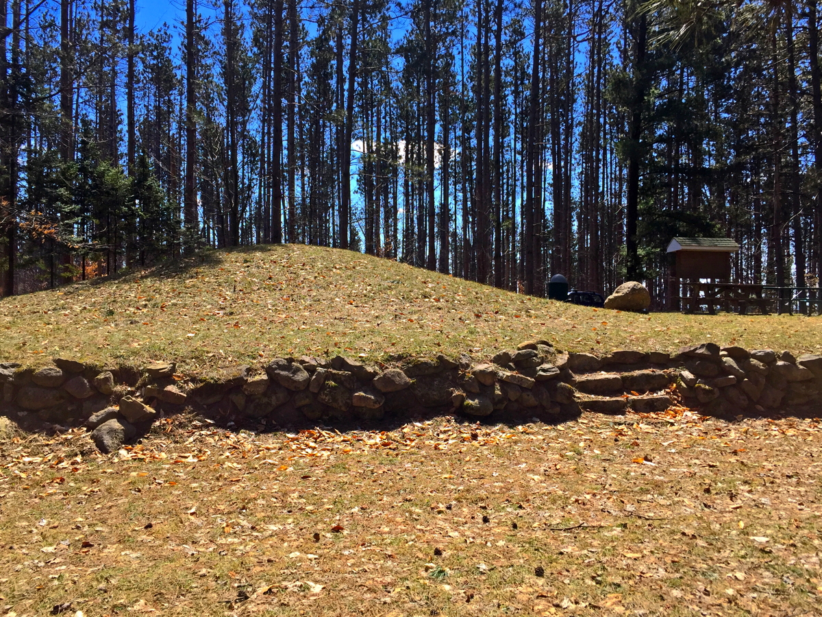
Briar Hill, at 1706 feet, this is the highest natural point in Wexford County and Michigan's lower peninsula, and the most prominent in the whole state, likely does have a great view, but until a lookout tower is put in, it's very difficult to tell through all the trees and leaves. We await someone to send up a drone for an expected fantastic 360-degree view.
Very likely the most scenic, though, are those areas in Benzie and Leelanau Counties that have a great view from high above Lake Michigan. (Included is the height above sea level for the main look-out area on these trails — note that Lake Michigan is an average of 579 +/- 3 feet above sea level.)
• Alligator Hill Trail (936')
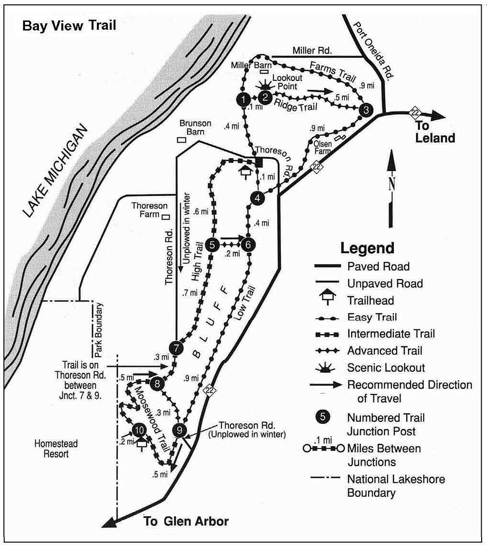
• Bay View Trail (776')
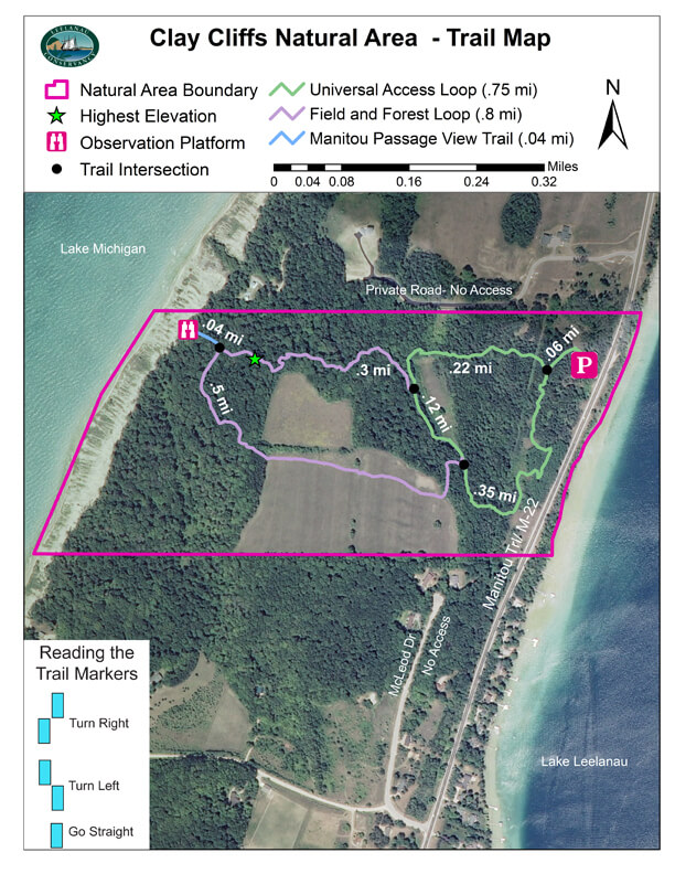
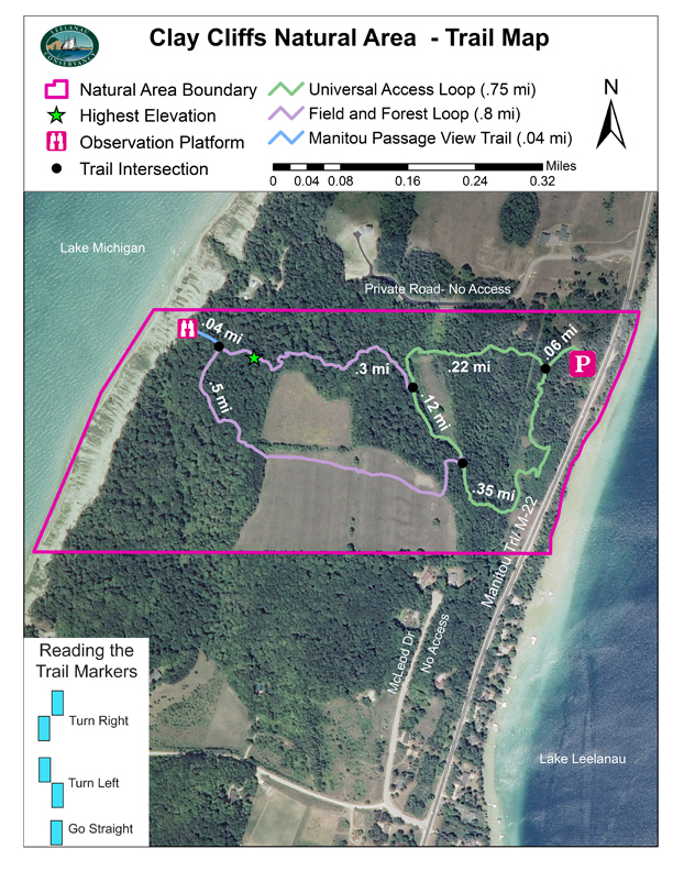
• Clay Cliffs Natural Area (680')
• Cottonwood Trail (950')
• Dunes to Lake Michigan (850')• Elberta Dunes South (780')
• Empire Bluff Trail (955')
• Green Point Dunes (848')
• Leelanau State Park (639')
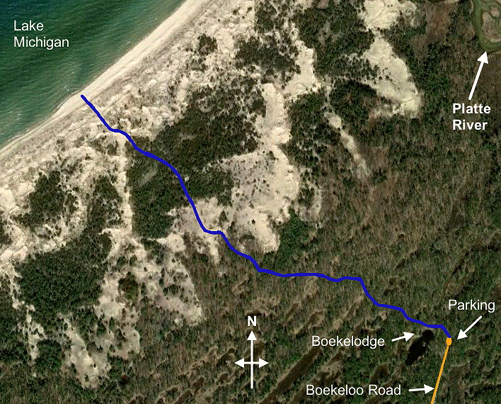
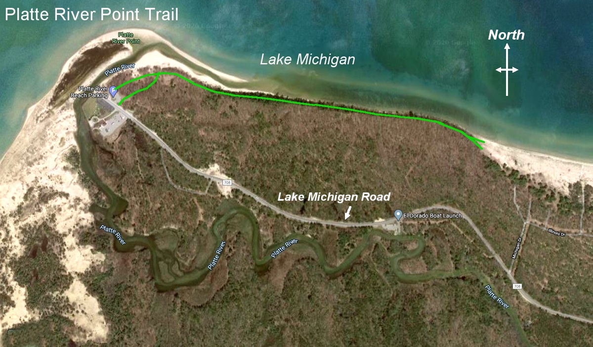
• Old Baldy (930')• Platte River Point Trail (680')
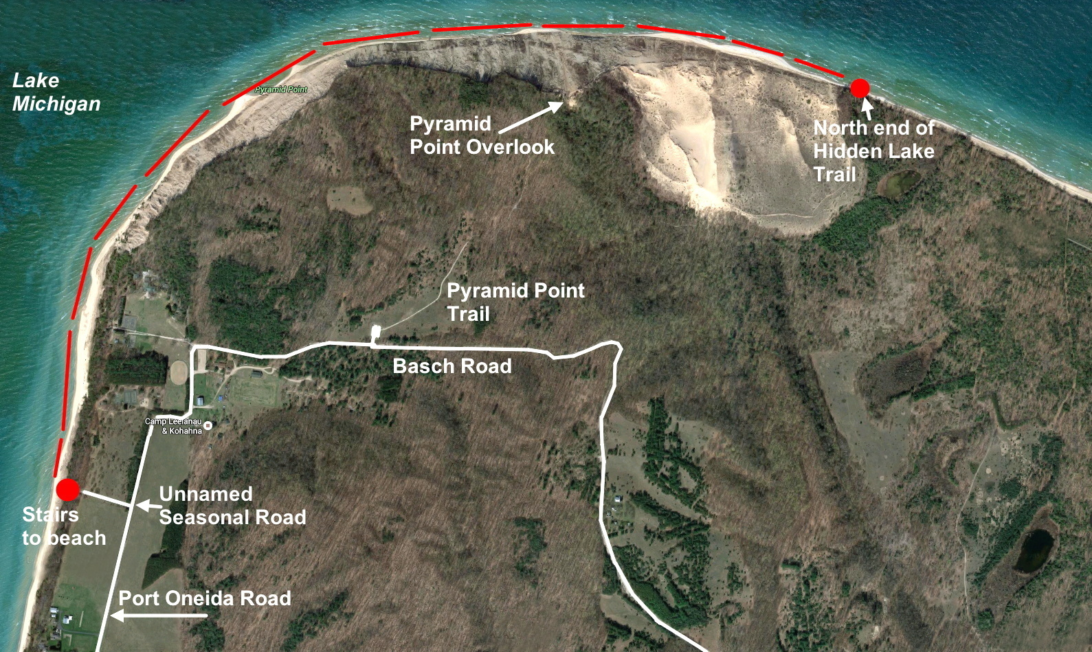
• Pyramid Point Trail (933')
• Sleeping Bear Point (800')
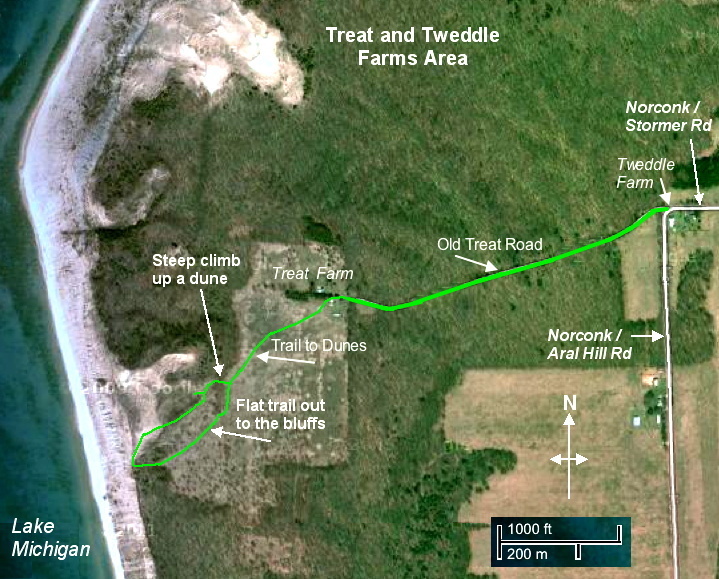
• Tweddle/Treat Farms (970')
• Whaleback Natural Area (850')
Very easy trails for those with limited mobility:
For those with limited mobility / walking capacity seeking flat, wide, paved or crushed gravel (aggregate) paths, check out the following. They may be short or long (do as much or as little as you like) but are very easy -- no hills or very gentle ones, and have an easy walking surface -- no single-track dirt paths. Many of these can also be done by those in a wheelchair. Six have U.A. (universally accessible) trails.
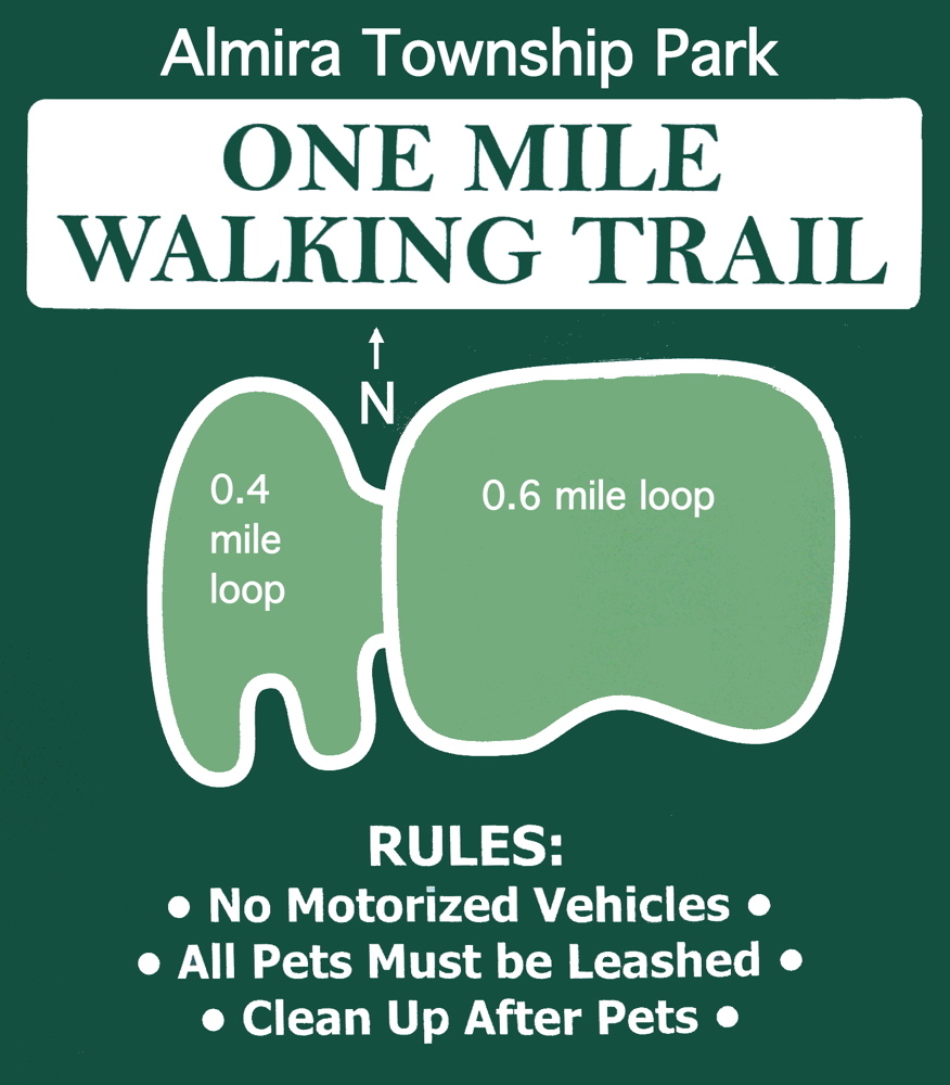
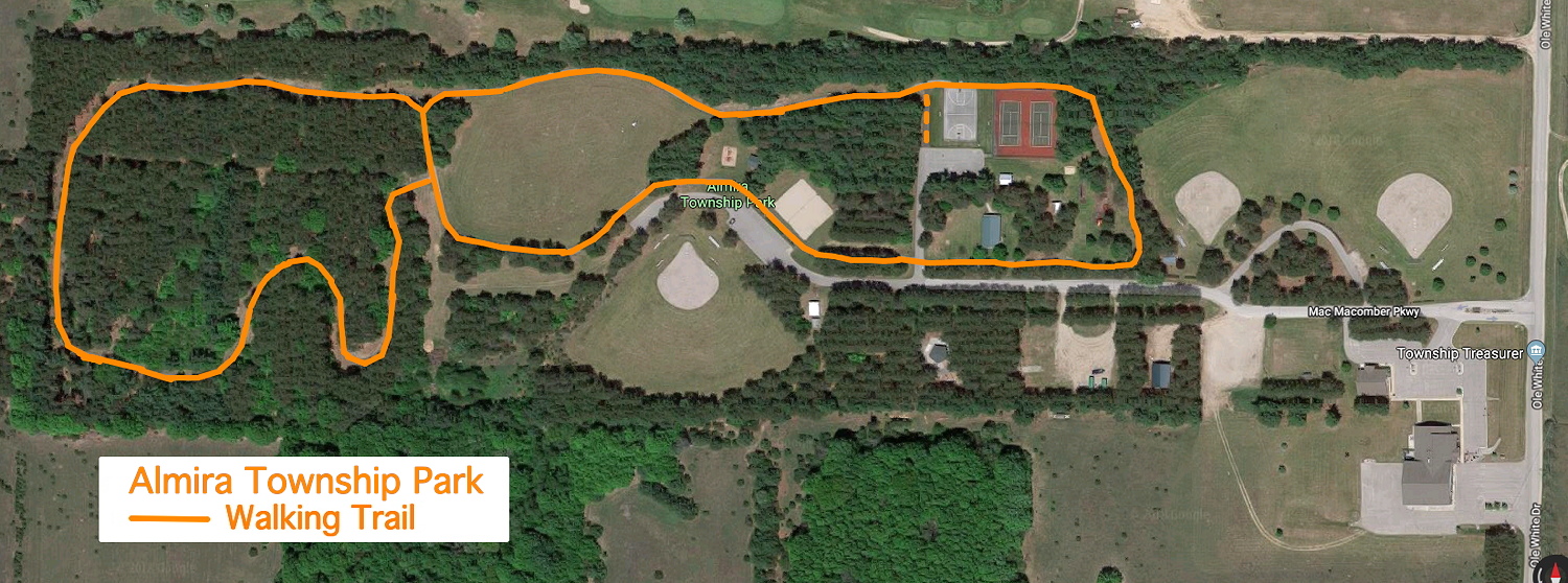
• Almira Township Park
• Arcadia Marsh Preserve
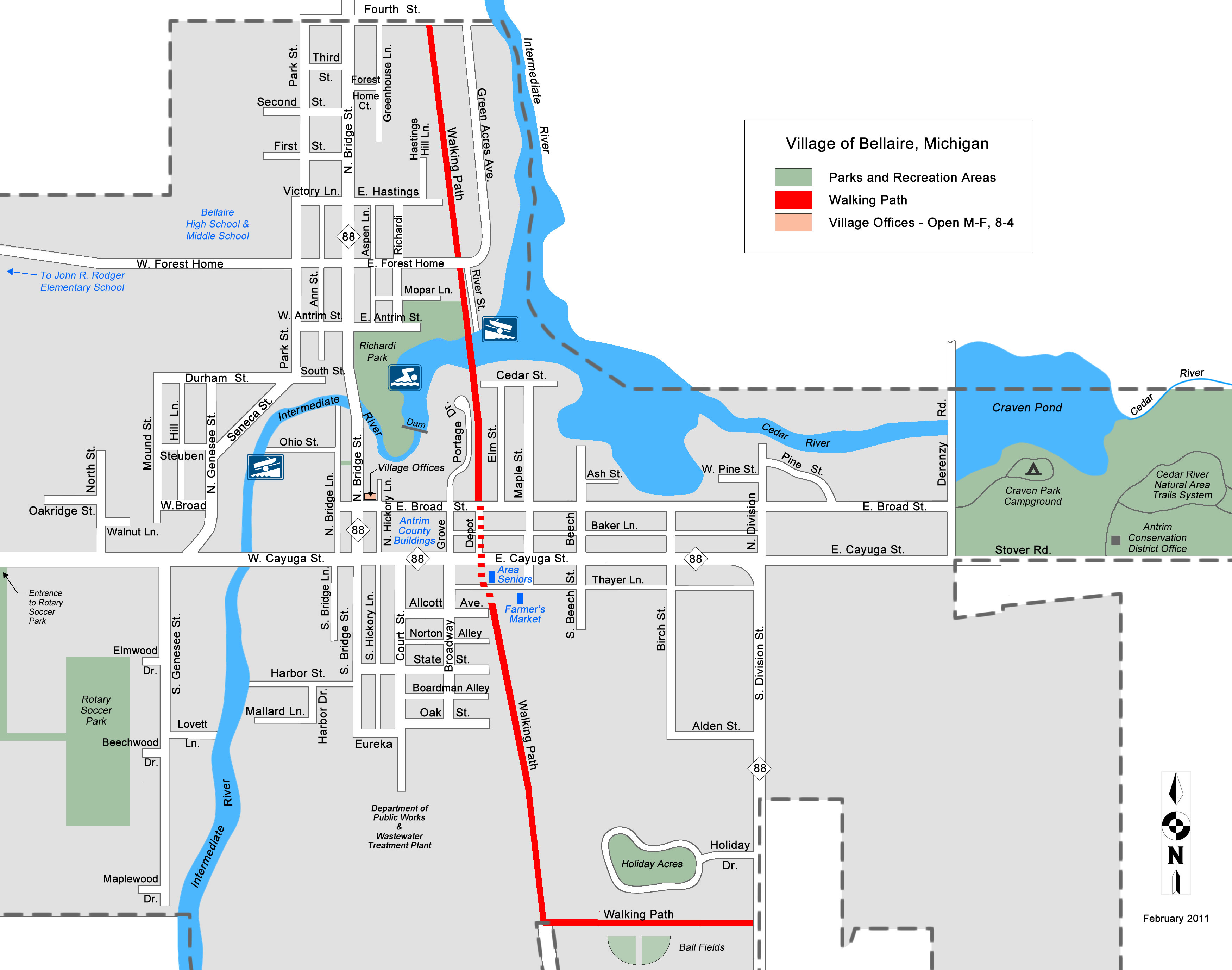
• Bellaire Walk/Bike Path
• Benzonia Twp. Walking Trail
• Betsie Valley Trail
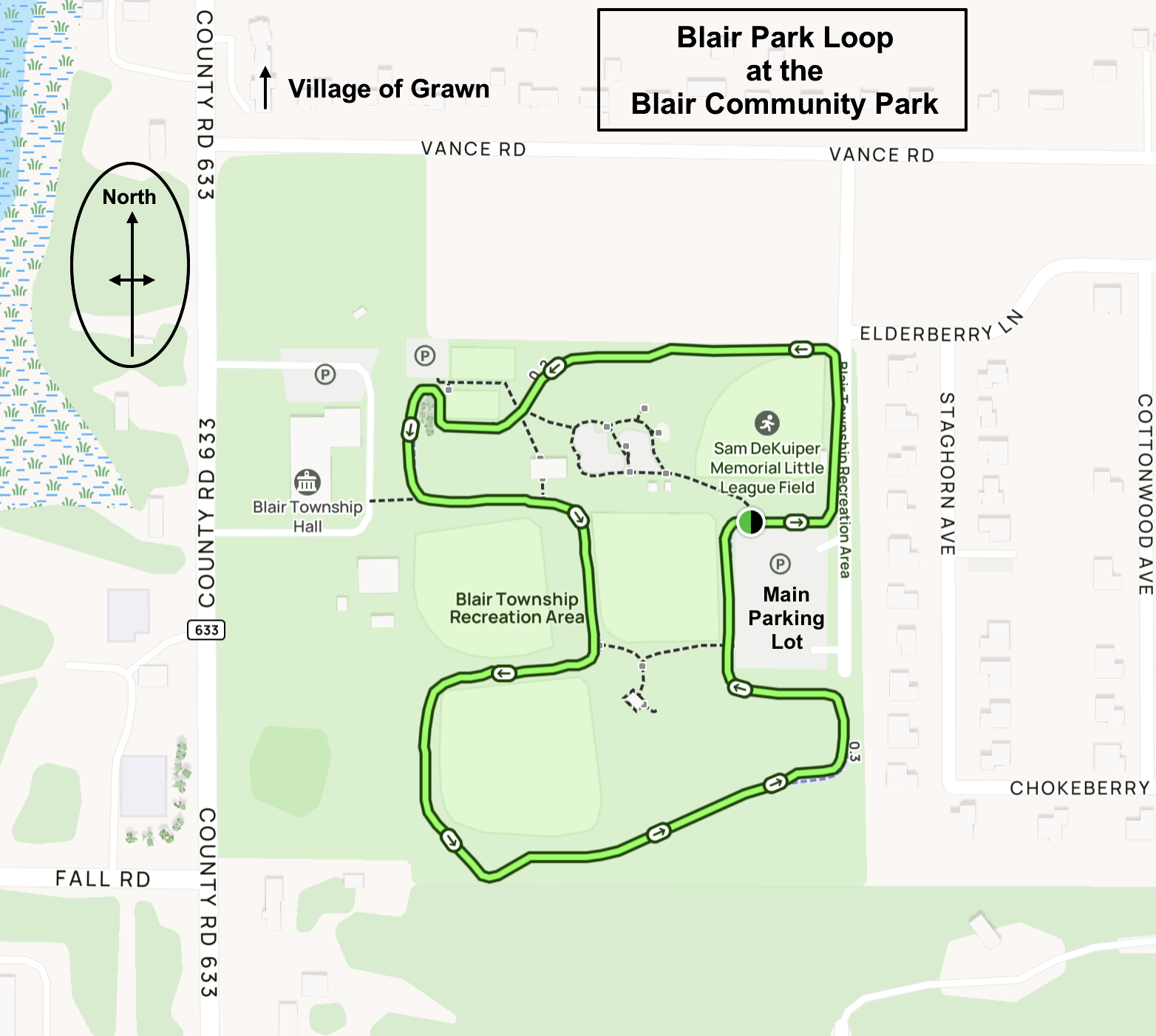
• Blair Park Loop
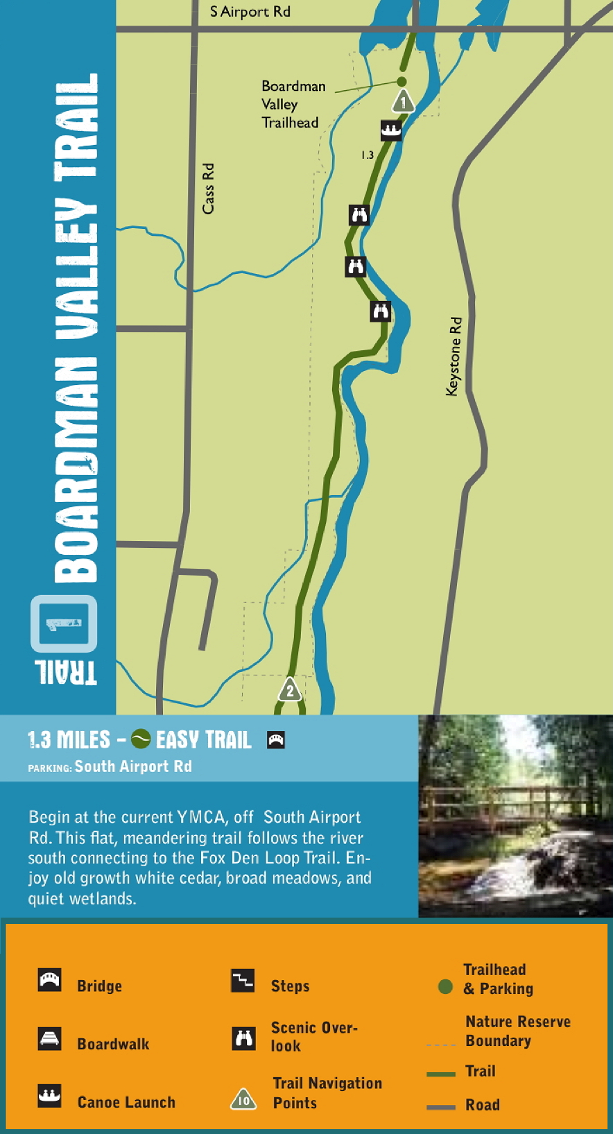
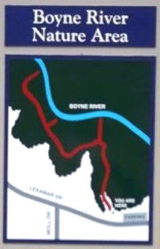
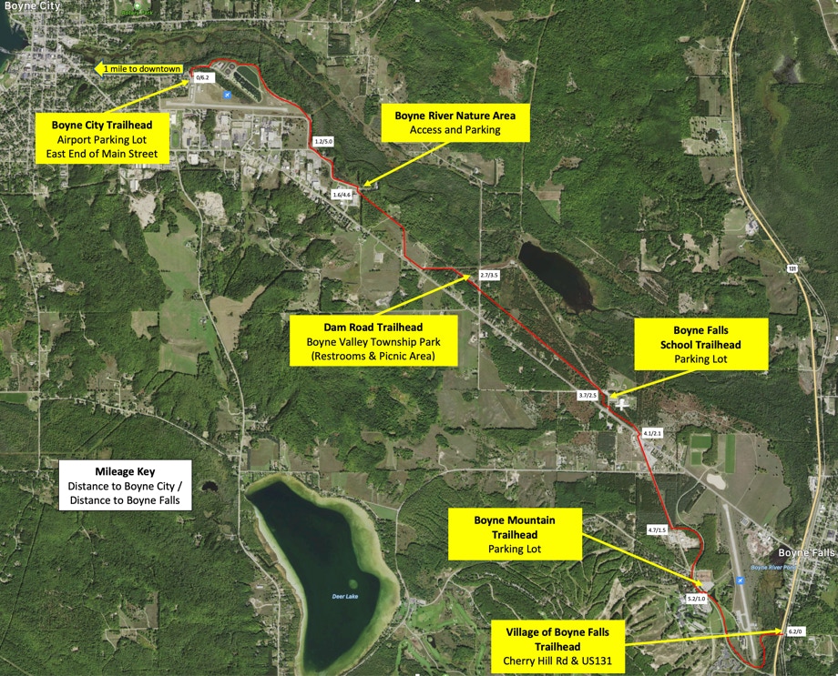
• Boyne Valley Trailway
• Buffalo Ridge Trail
• Clam River Greenway
• Grand Traverse County
• Inland Township Park
• Keith McKellop Walkway
• Kids Creek Park
• Leelanau Trail
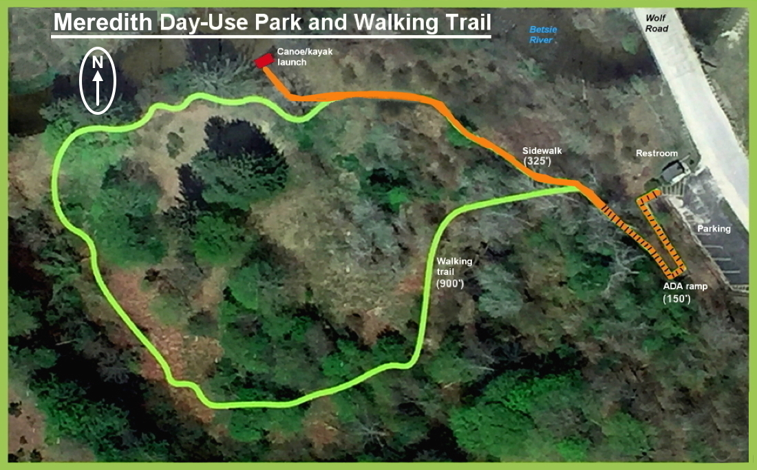
• Meredith Walking Trail
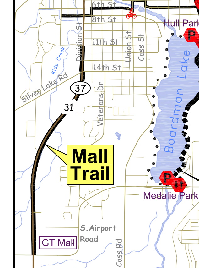
• Mall Trail
• Manistee Riverwalk
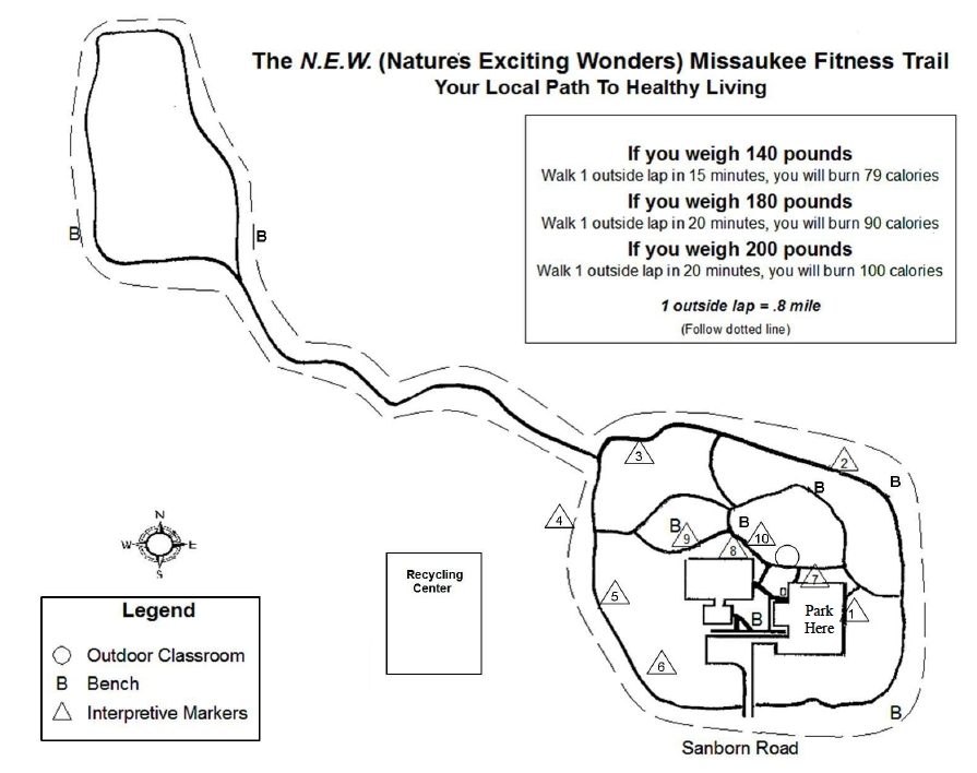
• Missaukee Fitness Trail
• North Point Park
• Old Baldy
• Oleson Nature Preserve
• Platte Plains Trail
• Pyatt Lake Preserve
• Ransom Lake Natural Area
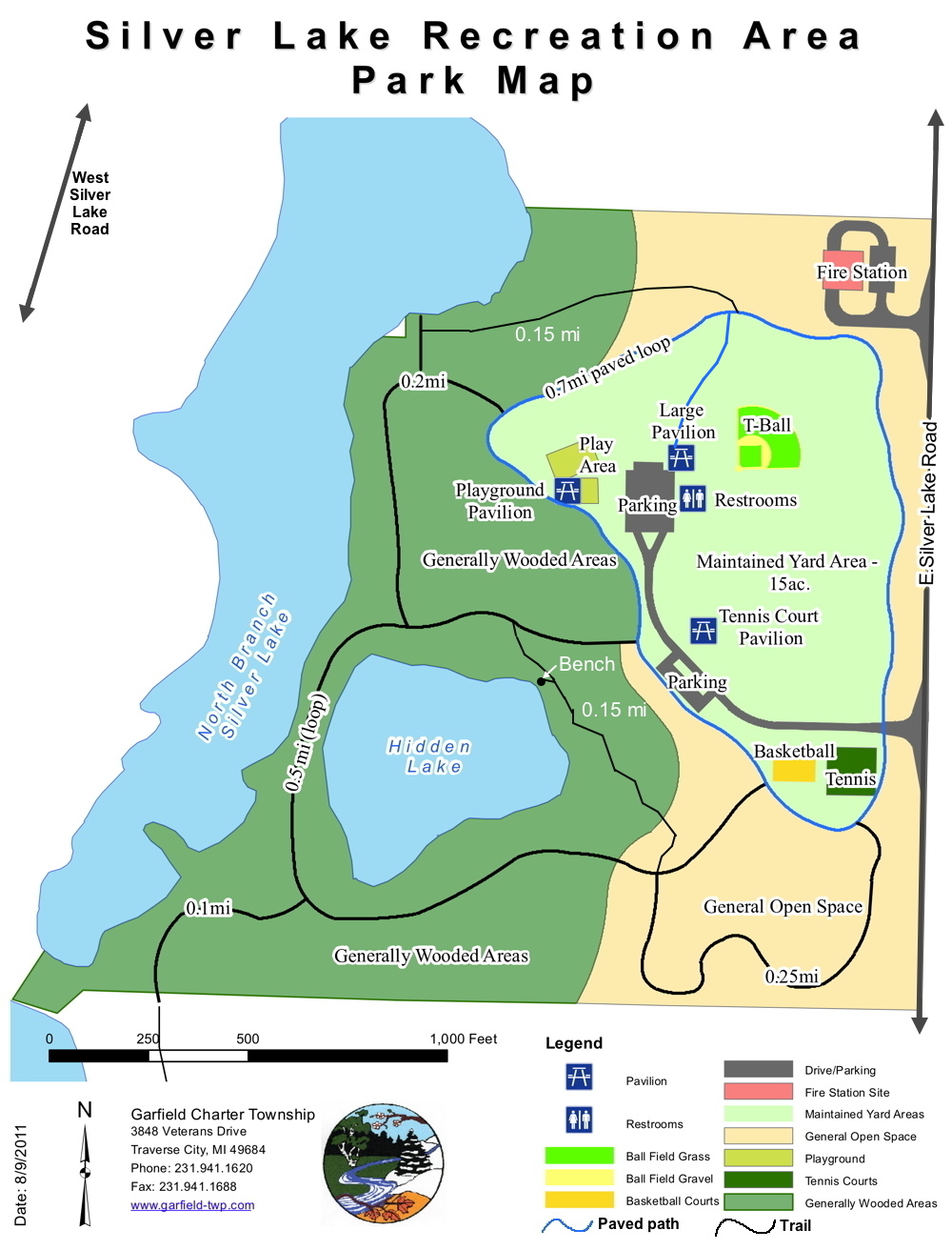
• Silver Lake Recreational Area
• Sleeping Bear Heritage Trail
• St. Clair Lake-Six Mile Lake
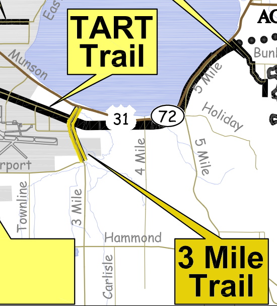
• TART Trail
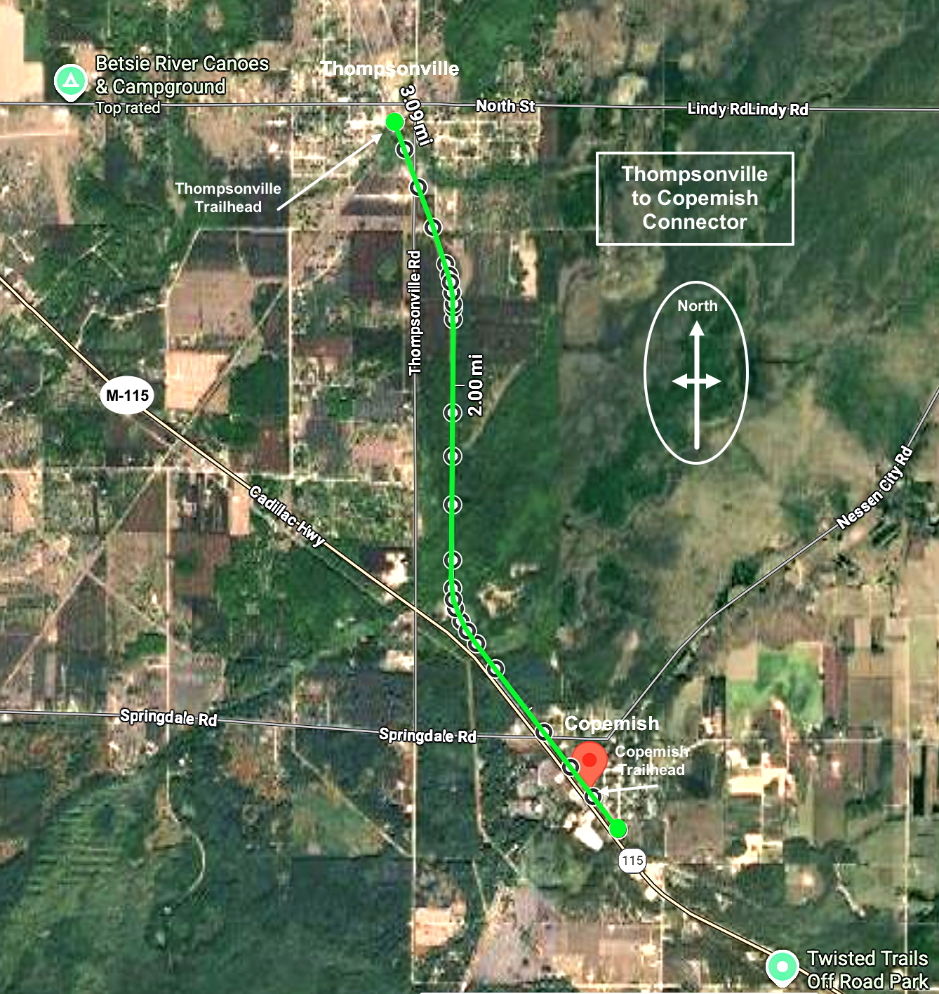
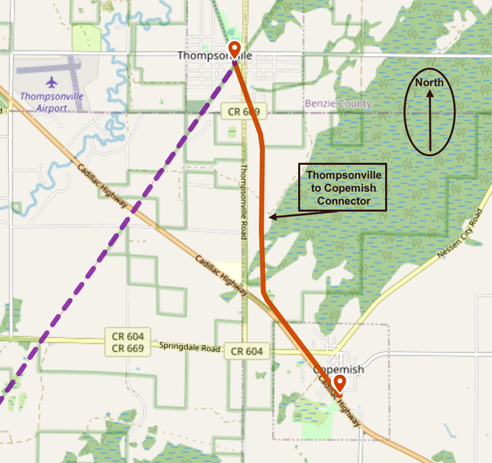
• Thompsonville to Copemish
• Three Mile Trail
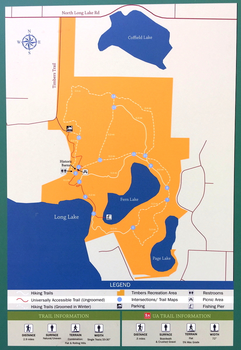
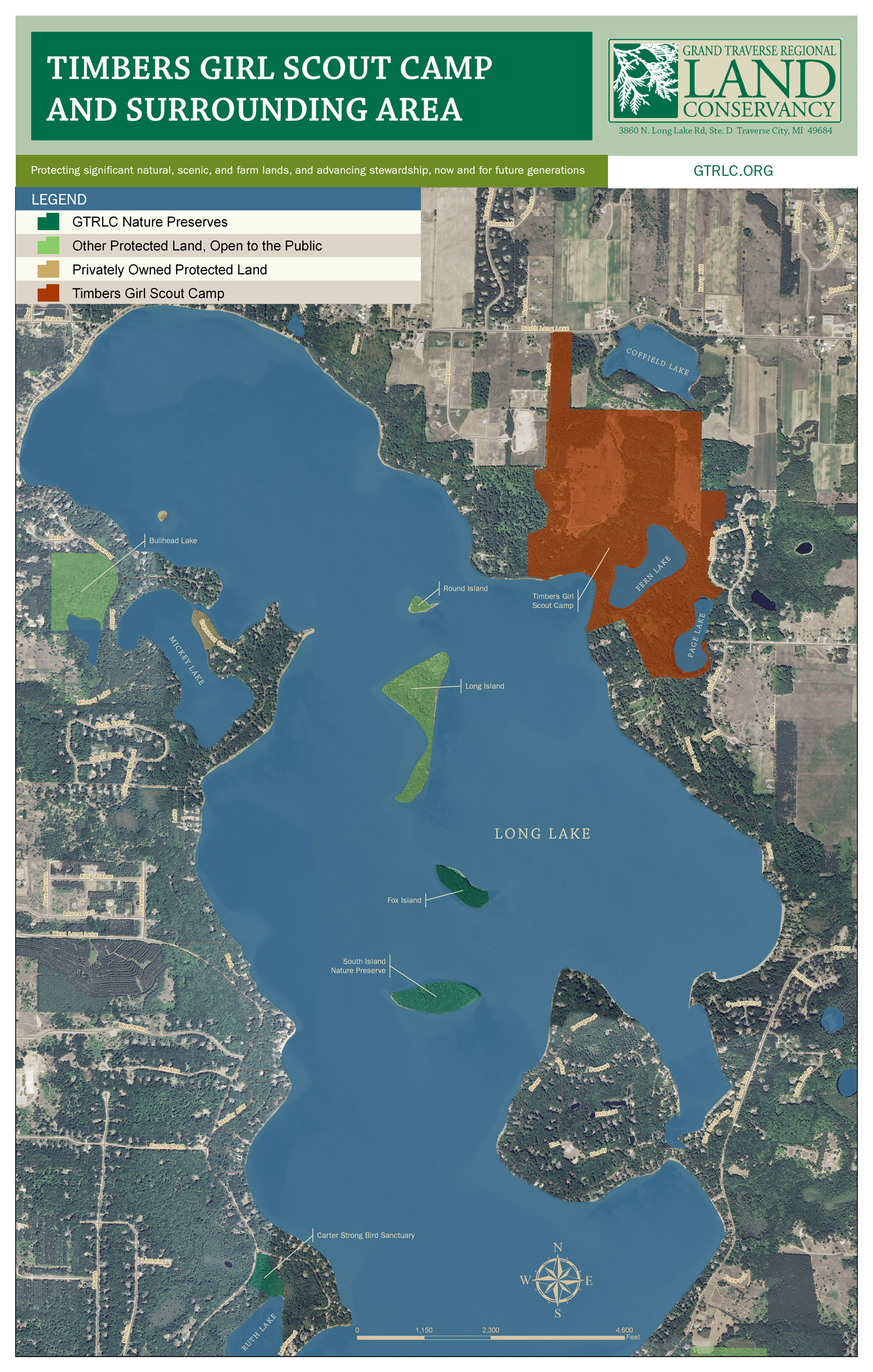
• Timbers Recreation Area
Groomed trails for cross-country (XC) skiing:
As of 1/9/2022, these are the only areas I know of that have at least some groomed trails for cross-country (XC) skiing:
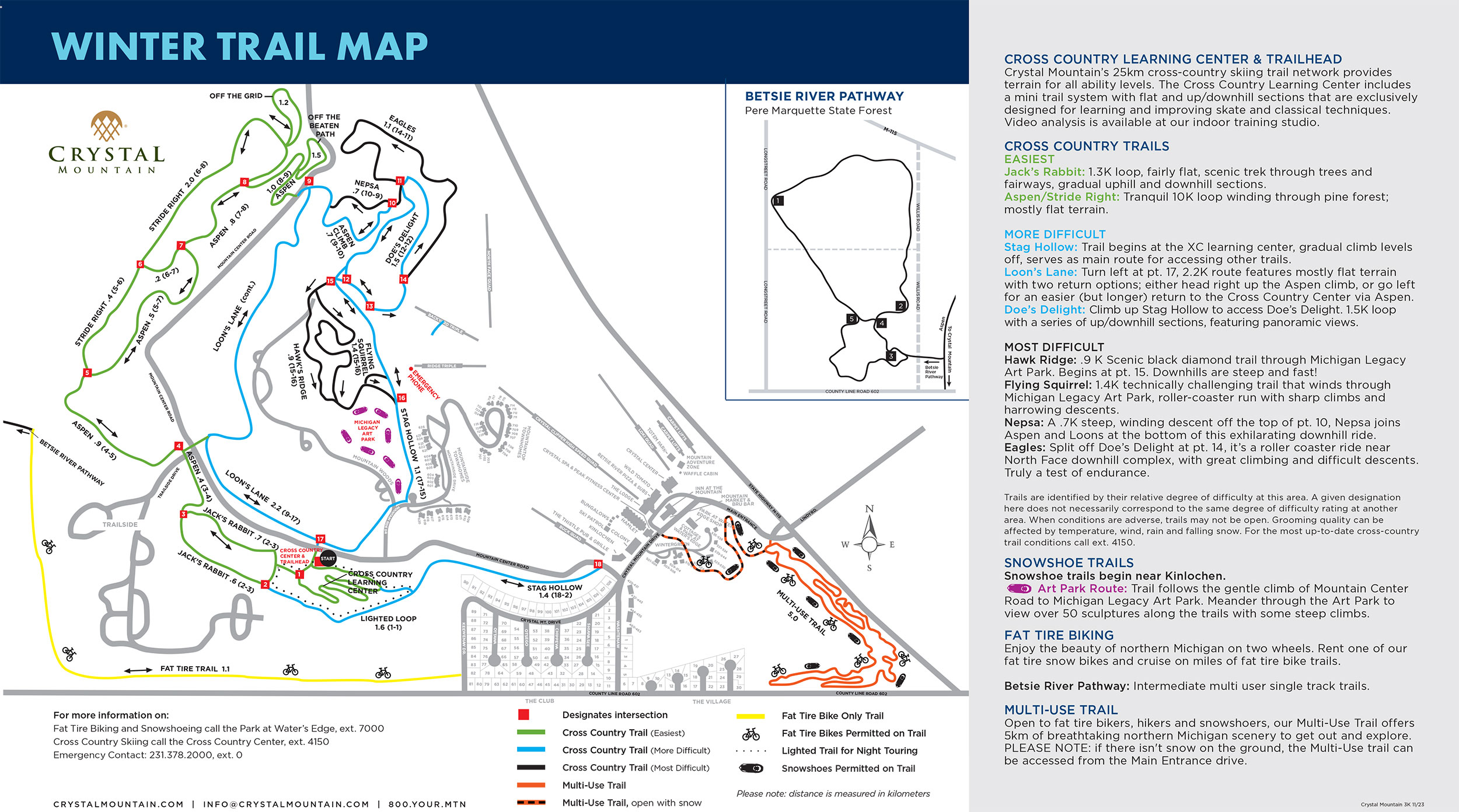
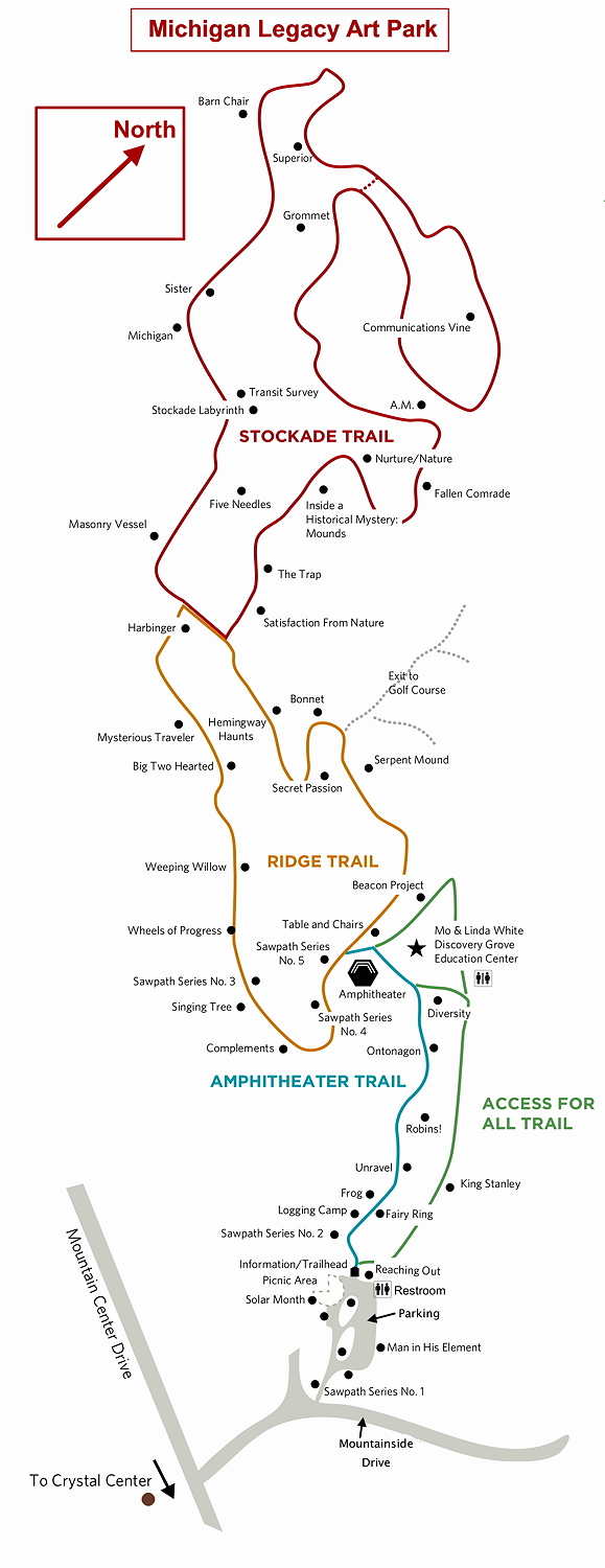
- Boyne Mountain Resort, Crystal Mountain, Michigan Legacy Art Park (next to Crystal Mountain), Missaukee Mountain, and other downhill ski areas.
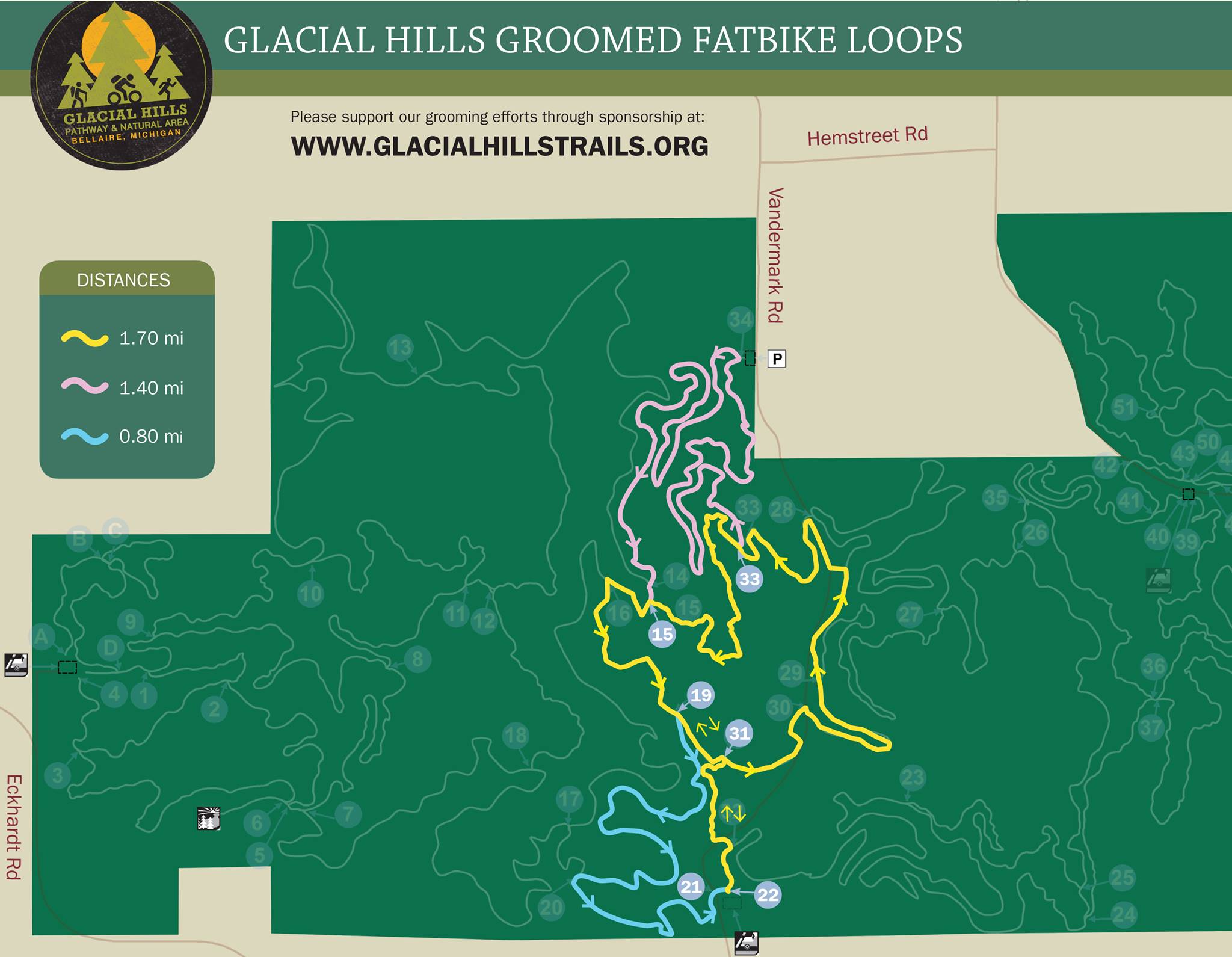
- Glacial Hills Pathway near Bellaire in Antrim County
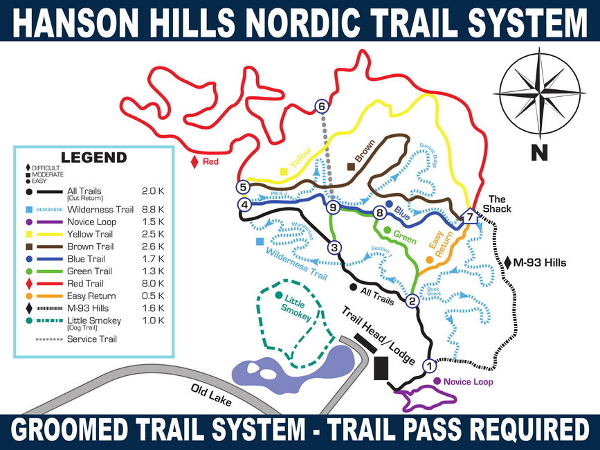
- Hanson Hills Rec. Area, Hartwick Pines Stare Park, and North Higgins Lake State Park in Crawford County
- Hickory Meadows the Timbers Recreation Area, and the VASA Pathway in Grand Traverse County
- Palmer Woods, the Sleeping Bear Heritage Trail, and Veronica Valley Park in Leelanau County
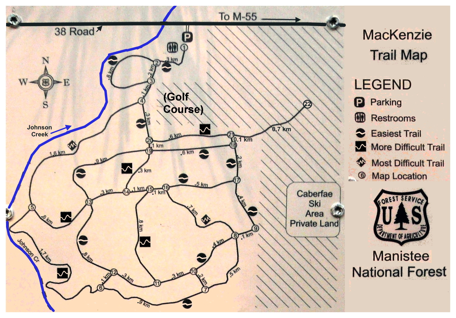
- Big M Trail, the MacKenzie Trail, and the Manistee Non-Motorized Trail Park in Manistee County
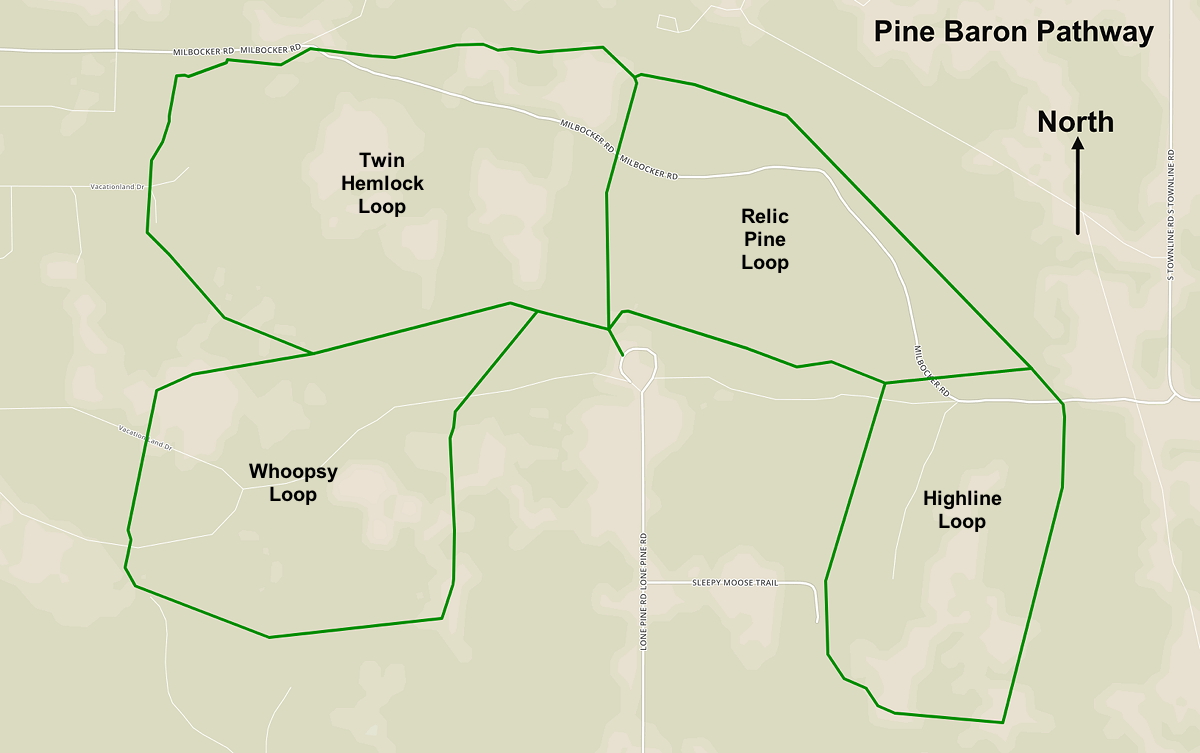
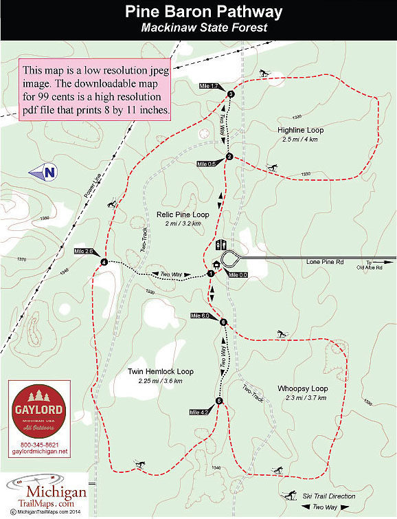
- Pine Baron Pathway near Gaylord in Otsego County.
There are also some trails that are not officially groomed, but tracked by XC skiers — snowshoers are firmly requested to not walk within those — Lake Ann Pathway is one example. And please note. in general, on any trail where XC skiing is common, it’s asked that snowshoers and hikers be respectful and never disturb the XC ski tracks.
For what it's worth, no trails that I know of are “groomed” for snowshoes and/or hiking with snow boots. But popular trails become packed down and therefore easier to walk on.
Paved (or fine crushed stone) trails for road bikes, ebikes, and more:
These trails (covered on this Web page) have at least some paved sections suitable for road bikes and ebikes:
• Bellaire Walk/Bike Path (1.6 miles)
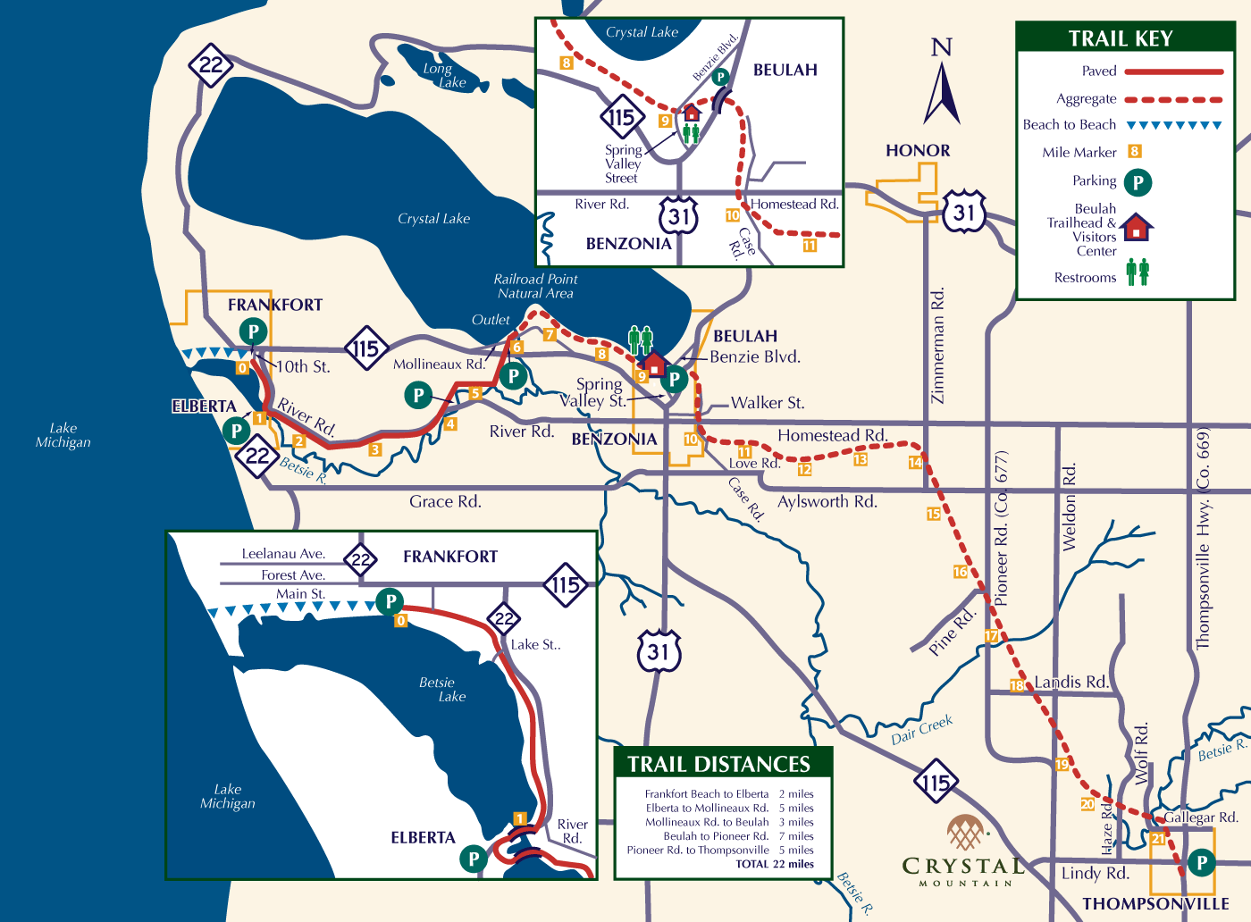
• Betsie Valley Trail (23 miles)
• Boardman Lake Trail (4.0 miles)
• Boyne Mountain Resort (7 miles)
• Boyne Valley Trailway (6.2 miles)
• Buffalo Ridge Trail (1.8 miles)
• Cadillac Bike Path (7 miles)
• Clam River Greenway (1.6 miles)• Grand Traverse County
• Leelanau Trail (17 miles)
• Mall Trail (2.4 miles)
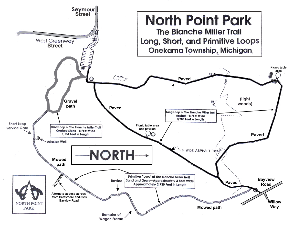
• North Point Park (0.6 miles)
• Sleeping Bear Heritage
• TART Trail (13.2 miles)
• Thompsonville to Copemish
• Three Mile Trail (2 miles)
• White Pine Trail State
Here are several more bike trails just outside (or that travel outside) the scope of this Web page:
- Fred Meijer Heartland Trail — a 42-mile, all-asphalt trail northeast of Grand Rapids. It's in good shape and recommended. At 42 miles long:19 miles from Alma to Edmore, and 23 miles from Edmore to Greenville. Here are trail maps: at Google Maps and at Traillink.com. It's asphalt the whole way, mostly in good shape. It's wooded much of the way, even if just along the edges. Just northeast of Greenville, the trail follows Lake Street (0.4 miles) and Peck Street (1.6 miles) using the shoulder.
- Distances:
- Alma to Elwell: 4.6 miles
- Elwell to Riverdale: 4.6 miles
- Riverdale to Vestaburg: 3.6 miles
- Vestaburg to Cedar Lake: 3.6 miles
- Cedar Lake to Edmore: 3.4 miles
- Edmore to McBride: 3.9 miles
- McBride to Stanton: 4.5 miles
- Stanton to Sidney: 4.0 miles
- Sidney to Lake Road: 4.4 miles
- Lake Road to Greenville: 5.4 miles
- Parking:
- In Alma, there is parking for the trail very near its eastern end point just past the college. Also, on the northwestern side of town there's a another parking lot at Charles Avenue on the south side of the trail. To get there, from Business 127, take Iowa Street west to Charles, then north a tiny bit.
- In Elwell (Pingree Road) and Riverdale (Lumberjack Road) there are parking lots next to the trail.
- In Cedar Lake, at Academy Road, there are off-road parking spots at the southwest.
- In Edmore, there's parking south of M-46 on the south side go the tiny lake off Sheldon Street by the community building. There's also parking at the beginning of the south-going section at Pine St and Lewis St (just north of Forrest St).
- In McBride, there's parking north of the trail where is crosses Wyman Road (Division Street). (Note that going north, I saw large cracks in the trail every 30' or so. That was the only bad section I saw from the road crossings for the whole trail.)
- In Stanton, on Walnut street, one street south of Main Street, where the trail crosses, there's a parking lot on the SW corner. Porta-pottie.
- East of Sidney on Sidney Road, there is no parking, nor at Derby Road south of town.
- Halfway between Sidney and Greenville on Ferris Road between Fuller and Muskrat, there are space in the grass for four cars.
- At Greenville, there's parking at the east end of Charles Street by a ball field.
- Note: there's an intersection here with the NE corner of the Fred Meijer Flat River Trail, which circles Greenville, is 6.5 miles long, and is all asphalt.
- Not much further along the trail byt still in Greenville there is also (official) parking at the SE corner with Washington Street (M-57) at Jackson's Landing. Port-a-pottie.
- Note that this is also the northern end of the Fred Meijer Flat River Valley Rail-Trail, which is 22 miles long and goes from Greenville to Lowell, and is all asphalt.
- Grayling Bicycle Turnpike — a 10-mile-long paved path from the Hanson Hill Recreation Area west of Grayling, through the city of Grayling, then out to the Hartwick Pines State Park.
- Hart-Montague State Trail — a beautiful, 22-mile-long, mostly wooded, paved trail which goes from Hart, through Mears, Shelby, New Era, and Rothbury before reaching Montague (and its neighbor Whitehall). It's in great shape and very much recommended. Web site 1, Web site 2. (And there are several other Web sites about this trail.) Here are a few points along the way starting from the parking lot near Hart and heading south to Montague:
- 0.0 miles — parking lot near Hart
- 1.1 miles – US-31
- 2.4 miles – east side of Mears
- 4.8 miles – Log Road (big X)
- 5.9 miles – US-31
- 6.0 miles – DNR restroom (pit toilet)
- 8.0 miles – Shelby pavilion
- 10.7 miles – County Dairy – dairy farm + farm tour, farm store, restaurant
- 12.1 miles – New Era pavilion
- 16.1 miles – Rothbury pavilion and park
- 22 miles (roughly) — Montague parking lot
- Little Traverse Wheelway — a 26-mile-long paved path from Charlevoix through Petoskey to Harbor Springs, which goes parallel to, and often right along side, the Lake Michigan shore. Just north of Petoskey it links to the North Western State Trail. Recommended.
- Montague to Muskegon — You can also ride from Montague to Muskegon via nice paved trails. Start at the southern end of the Hart-Montague State Trail in Montague. It soon becomes the White Lake Pathway, then the Frederic Meijer Berry Junction Trail, the McMillan Trail, and finally, the Muskegon Lakeshore Trail. You'll pass through Whitehall, around 10 miles of nice woods (during which you'll go by the eastern border of the Michigan Adventure Park), North Muskegon, then cross the Muskegon River, and wind up near downtown Muskegon at the east end of Muskegon Lake. Next, if you like, you can go past (west of) downtown along a fair portion of southern edge of Muskegon Lake via a bike path. Where the path ends is around 22 miles from Montague. Then to get to the Lake Michigan beach, about two miles away, you'll follow a bike lane in Lakeshore Drive for a while,, then just follow the road itself to the roundabout at Beach Street, where you can explore north and south along the beach. (And visit the USS Silversides museum, check out the channel out to Lake Michigan, or go over to the Harbor Towne Beach on the Muskegon Lake.) Recommended.
- Musketawa Trail — a 23.7 mile paved trail from East Muskegon to Marne. Trail map.
- From East Muskegon to Ravenna, the pavement is older with trail-wide cracks, most of which, luckily, are minor. You'll pass through backyards, woods, many farms, meadows, and sometimes along power lines. Recommended
- From Ravenna through Conklin to Marne the trail was just redone in 9/2026 with new pavement and improved bridges, especially a large one over Crockery Creek near Ravenna. It's flat the whole way with many long stretches of straight-aways. You'll pass through some farms and many patches of woods with lots of nice older, taller trees along the way. (But note that at the moment (9/2026) there is a one-mile stretch of older pavement between Ravenna and Ellis Roads. Go slow and watch for any larger cracks and 6" pits in the pavement.) Highly recommended
- At each end the trail connects to local trails —
- on the west end it connects to the Laketon Trail through Muskegon which itself connects with the Muskegon Lakeshore Trail.
- on the east end it connects to the 10-mile-long Fred Meijer Pioneer Trail, which itself connects to the White Pine Trail and the Grand Rapids Riverside Trail. (Note that about 5.5 miles from the Marne trailhead you'll come to the Fred Meijer Pioneer Trail Park at the northwestern corner of the intersection of Walker Avenue and 3 Mile Road in Walker. There you find a life-like casting of Fred Meijer sitting on a bench. You can sit down and take a selfie with him!)
- Trailheads:
- The west-end starting point – East Muskegon trailhead and parking lot — Off of Broadway Avenue. Port-a-pottie
- 11.6 miles to Ravenna trailhead and parking lot — Off of Blackmer Road. Port-a-pottie
- 5.4 miles to Conklin trailhead and parking lot — Off Main Street just north of Sehler Road. Port-a-pottie
- 6.7 miles to Marne trailhead and parking lot — Off of 8th Avenue just north of Garfield Street. Port-a-pottie
- North Central State Trail – a 73-mile-long rail-trail from Waters just south of Gaylord, through Gaylord, Indian River, Cheboygan, and ending at Mackinaw City.
- It's 10-foot-wide with a fine, compacted, crushed limestone surface. In this case, although it's not paved, it's not that much slower (on a bicycle) that an asphalt surface.
- It goes from from Waters (just south of Gaylord near Otsego Lake), through Gaylord, Vanderbilt, Wolverine, Indian River, Topinabee, Cheboygan, and ending at Mackinaw City.
- Easy and somewhat flat overall with a rail-grade decline as you head north and a 770-foot maximum elevation change. The most notable grade occurs in the southern portion between Gaylord and Vanderbilt, where the path drops nearly 300 feet over the first 7 miles. Then north of Indian River toward Cheboygan and Mackinaw City, the terrain remains very level with only minor, gradual changes.
- It links with the North Eastern State Trail in Cheboygan and to the North Western State Trail in Mackinaw City.
- It passes through dense forests and wilderness, rivers and wetlands, lakeside shorelines, small towns, and rural farmland.
- Recommended.
- North Eastern State Trail — 71-mile flat rail-trail running between Alpena and Cheboygan.
- It's 10-foot-wide with a fine, compacted, crushed limestone surface.
- It connects Alpena, Posen, Hawks, Millersburg, Onaway, Tower, Aloha, and Cheboygan.
- Easy, with a flat rail-grade terrain. Easy and essentially flat with a very gentle, almost unnoticeable rail-grade terrain. The low points sit near the coastal endpoints in Cheboygan and Alpena, while the high point tops out in the rolling inland terrain around the middle sections of the trail. The 234-foot elevation change is spread out so gradually over 71 miles that it feels almost completely flat.
- It links with the North Central State Trail in Cheboygan.
- It passes through remote wetlands, farmlands, forests, and small historic lumber towns with river crossings and lake views (including Mullett Lake near Aloha State Park).
- Recommended.
- North Western State Trail – a 32-mile-long flat rail-trail from Petoskey to Mackinaw City.
- The first 8 miles from Petoskey to Alanson is paved. The rest of the way is fine, compacted, crushed limestone.
- It connects Petoskey, Conway, Oden, Alanson, Pellston, Levering, Carp Lake, and Mackinaw City.
- Easy and essentially flat with a very gentle, almost unnoticeable rail-grade incline as you head north with a150-foot maximum elevation change.
- It links to the Little Traverse Wheelway in Petoskey and the North Central State Trail in Mackinaw City.
- It passes through lakeshores and wetlands, forests and natural areas, small towns, and rural spaces.
- Recommended.
- Pere Marquette State Trail —around 86 miles arom Baldwin to Midland.
- 17 miles — Baldwin to Reed City – For this whole section, the trail surface is a loose pebble surface which is not fun on bikes, so this section is not recommended for bikes.
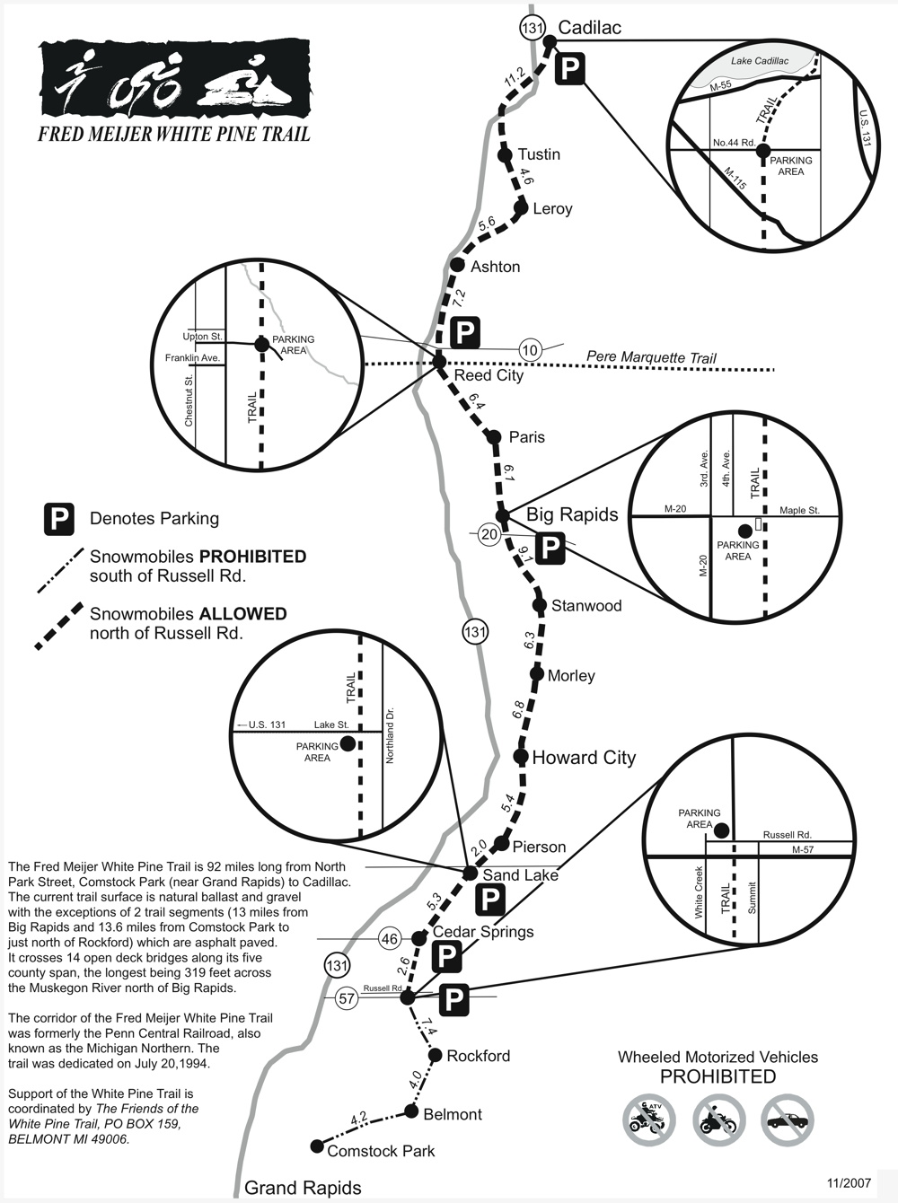
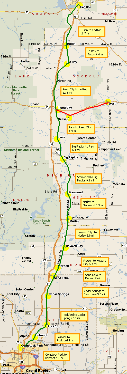
- 14 miles — Reed City to Evart – On the west side of Reed City the trail surface turns from a loose pebble surface to asphalt and that continues to just east of Evart, but that pavement is older with full-width cracks at very short regular intervals with grass growing out of them. A real headache for bikers so this section is not recommended for bikes. Note that at Reed City this trail is crossed by the White Pine Trail running from Cadillac to Grand Rapids.
- 25 miles — Evart to Clare – just east of Evart is an old railroad bridge. Just east of that, the asphalt is in good shape. It continues that way then to the west side of Clare, which then uses a new section of trail and some streets to pass through the city to connect to the trail on the east side of Clare. Recommended.
- 30 miles — Clare to Midland – From the east side of Clare all the way into Midland the asphalt is in good shape. (Note: Between Coleman and Sanford is a 2.2-mile stretch (fron Alamando Road to Barden Road) where the signs say that section of the trail is starting to develop large cracks across the trail.) Mostly recommended.
- White Pine Trail (covered below) – a 92-mile-long trail from Cadillac to Comstock Park (just north of Grand Rapids).
Mountain bike trails where Class 1 ebikes are now allowed:
Non-DNR-managed/owned mountain bike trails where Class 1 ebikes are allowed:
DNR-managed/owned mountain bike trails where Class 1 ebikes are allowed, probably:
A DNR land use order approved in August, 2024 expanded the operation of electric bicycles (ebikes) on state-managed trails and pathways that were currently open to bicycles. Ebikes were already allowed on improved-surface (paved or gravel) linear trails, motorized ORV trails, and roads on state-managed land. With this new land use order, they are now allowed on natural-surface, non-motorized bicycle trails/pathways (i.e. mountain bike trails) in state parks, state recreation areas, and state forest pathways and roads. They added, "Instead of listing specific trails (involved), the new policy is open-unless-posted-closed for state-managed properties".
Trail Etiquette: Ebike riders should practice caution, maintain control, yield to other users such hikers, cross-country skiers, and traditional cyclists, and keep speeds under control and respectful of multi-use condition.
The DNR is expected to install signs at trailheads indicating allowable ebike use.
Here are two Web sites about this:
- https://www.michigan.gov/dnr/ebikes
- https://content.govdelivery.com/accounts/MIDNR/bulletins/3ada207
To see what trails are affected, I looked for those covered on this Web page that are managed/owned by the DNR where mountain bikes are allowed. It turns out there are several of these.
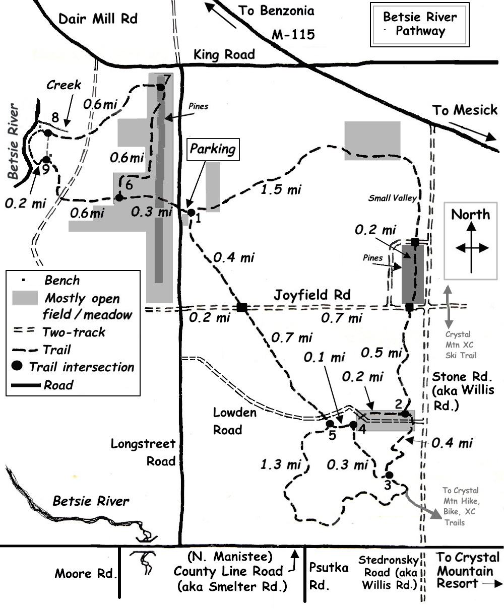
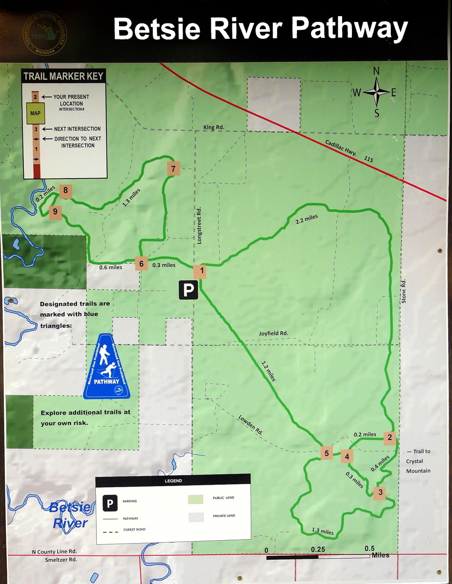
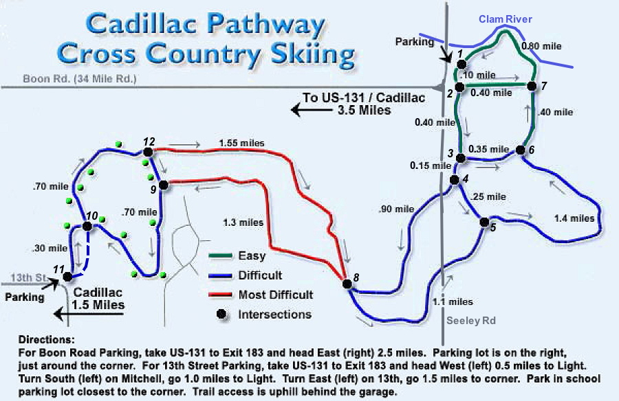
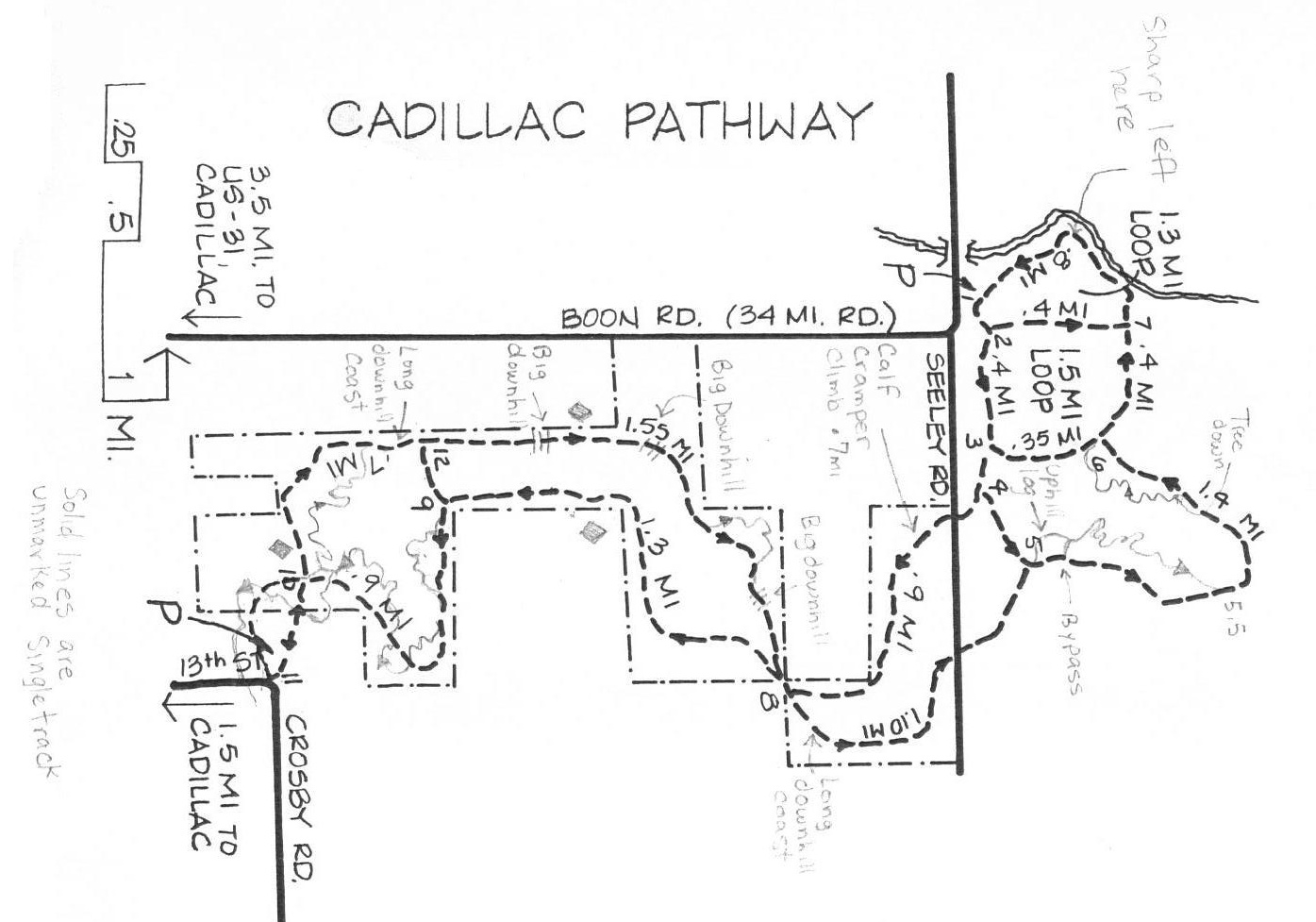
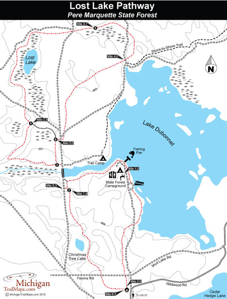
| • Betsie River Pathway • Cadillac Pathway • Hartwick Pines State Park • Lake Ann Pathway • Lost Lake Pathway |
 |
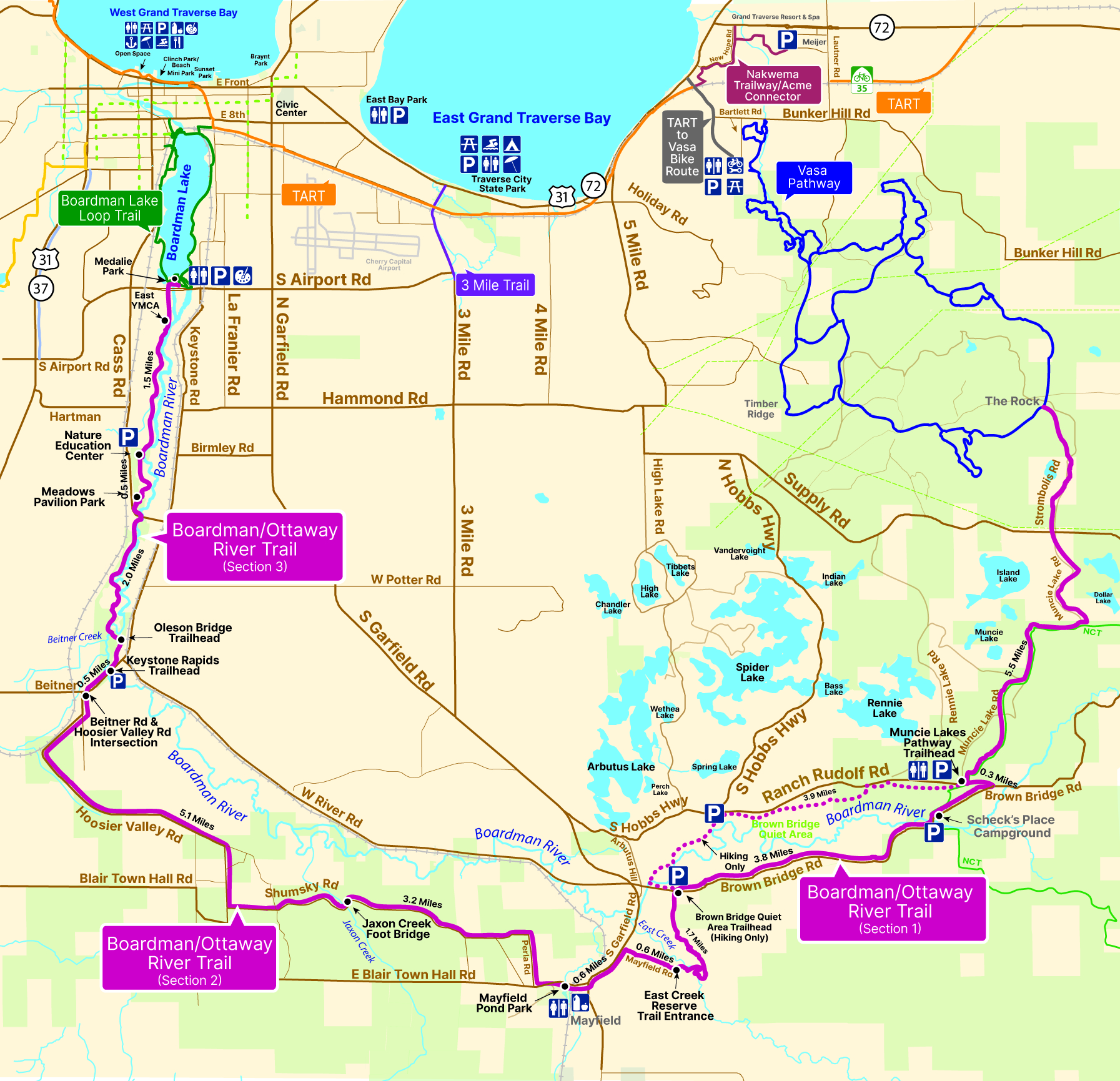
• Mud Lake Two-Track Trail • Muncie Lakes Pathway • North Higgins Lake State Park • Pine Baron Pathway |
|
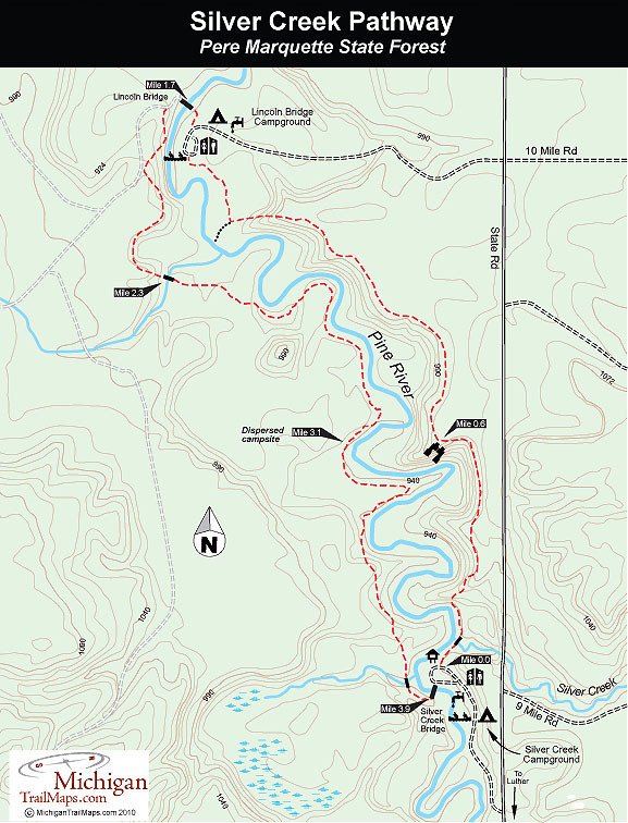
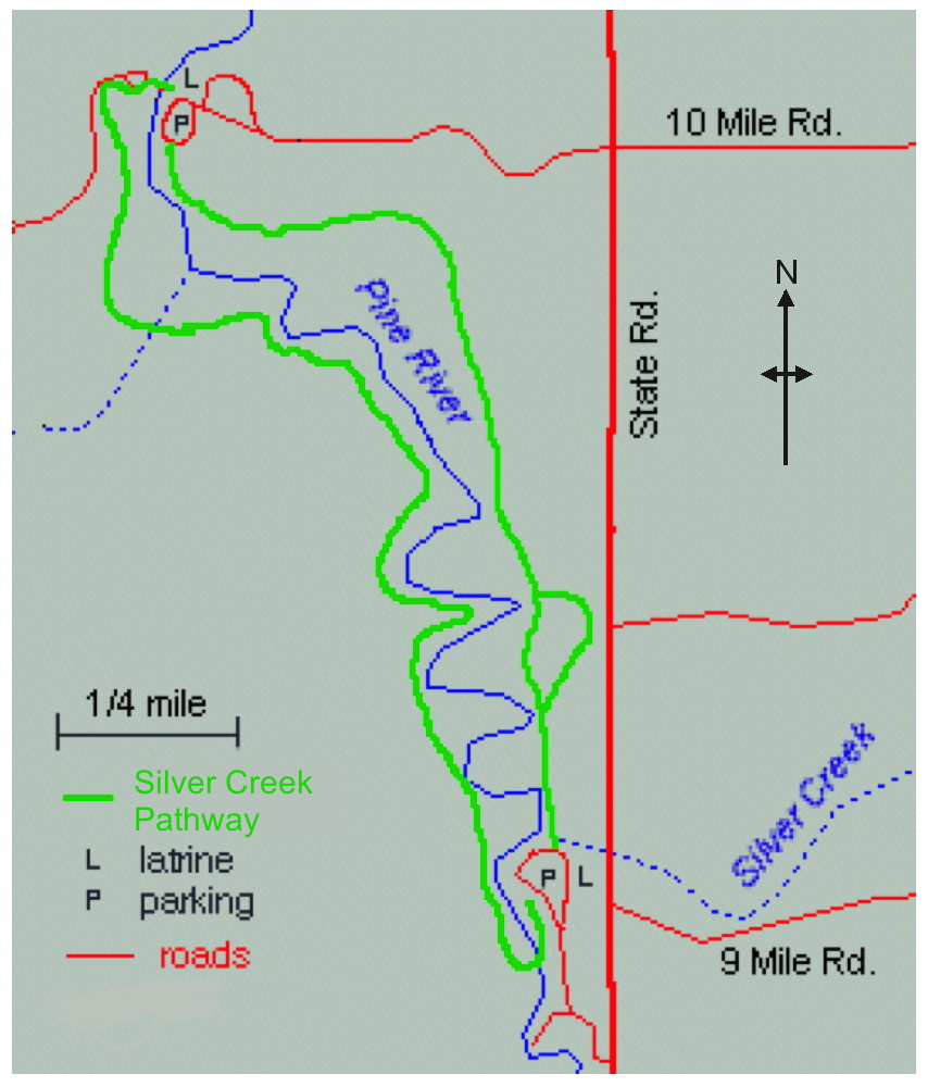
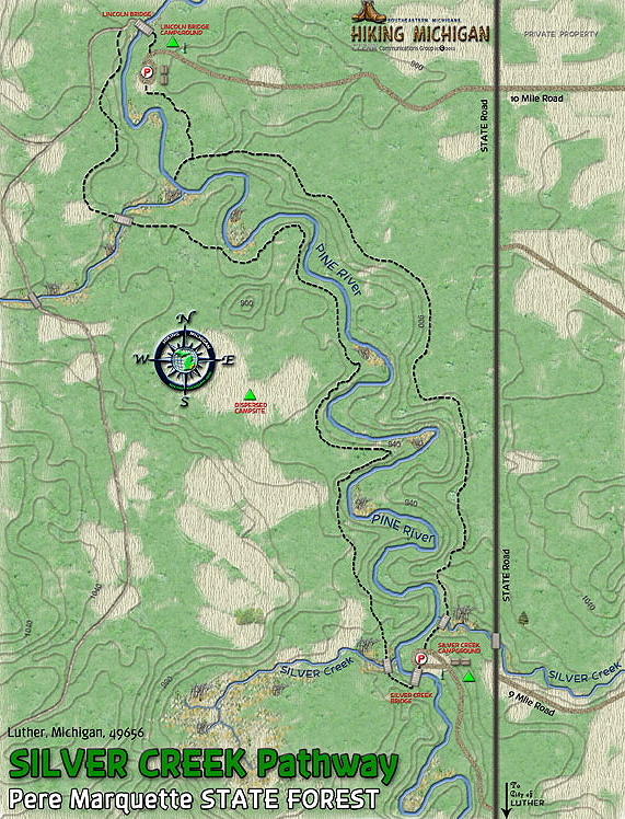
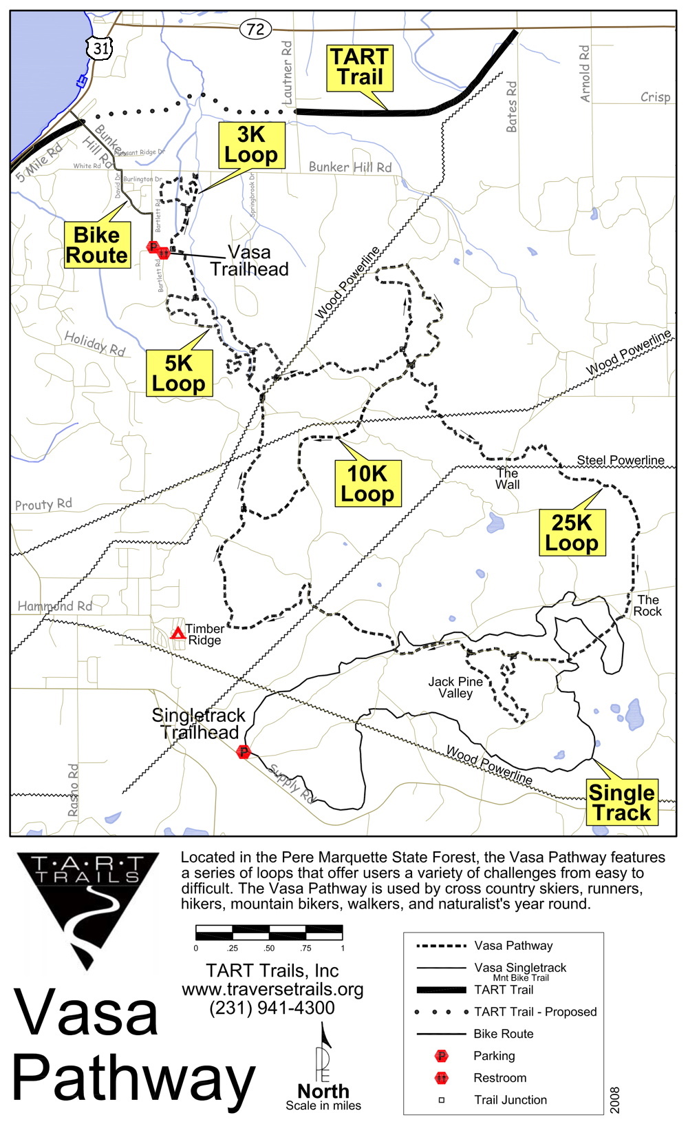
• Pine Valley Pathway • Sand Lakes Quiet Area • Silver Creek Pathway • VASA Pathway |
Always check for signs at each area for any potential restrictions specific to that area.
Hiking tips:
- Tips for hiking in cougar (mountain lion) country
- 101+ Hiking Tips by Rick Halbert - Very thorough details for those going for extended hikes, covers these major topics: Packing and Unpacking, Walking, Clothing, Etiquette, Staying Warm or Cool, Care of Your Feet, Your Campsite, Knots For Backpackers, and Kitchen Tips.
Free, prinable topographical maps:
- Printable USGS PDF TOPO Maps from National Geographic - Find any 7.5 minute topo map in the continental U.S.A. Each topo map has been pre-processed to print on a standard home, letter size printer.
Web sites to watch– for new trails (as well as nature preserves). These sites list several trails for northwestern Lower Michigan. (But none of these list anywhere near as many as the Web page you are currently viewing!)
|
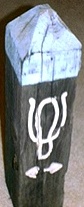 This
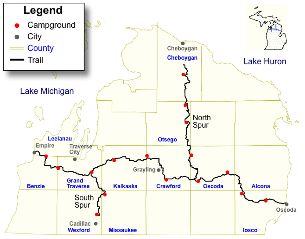
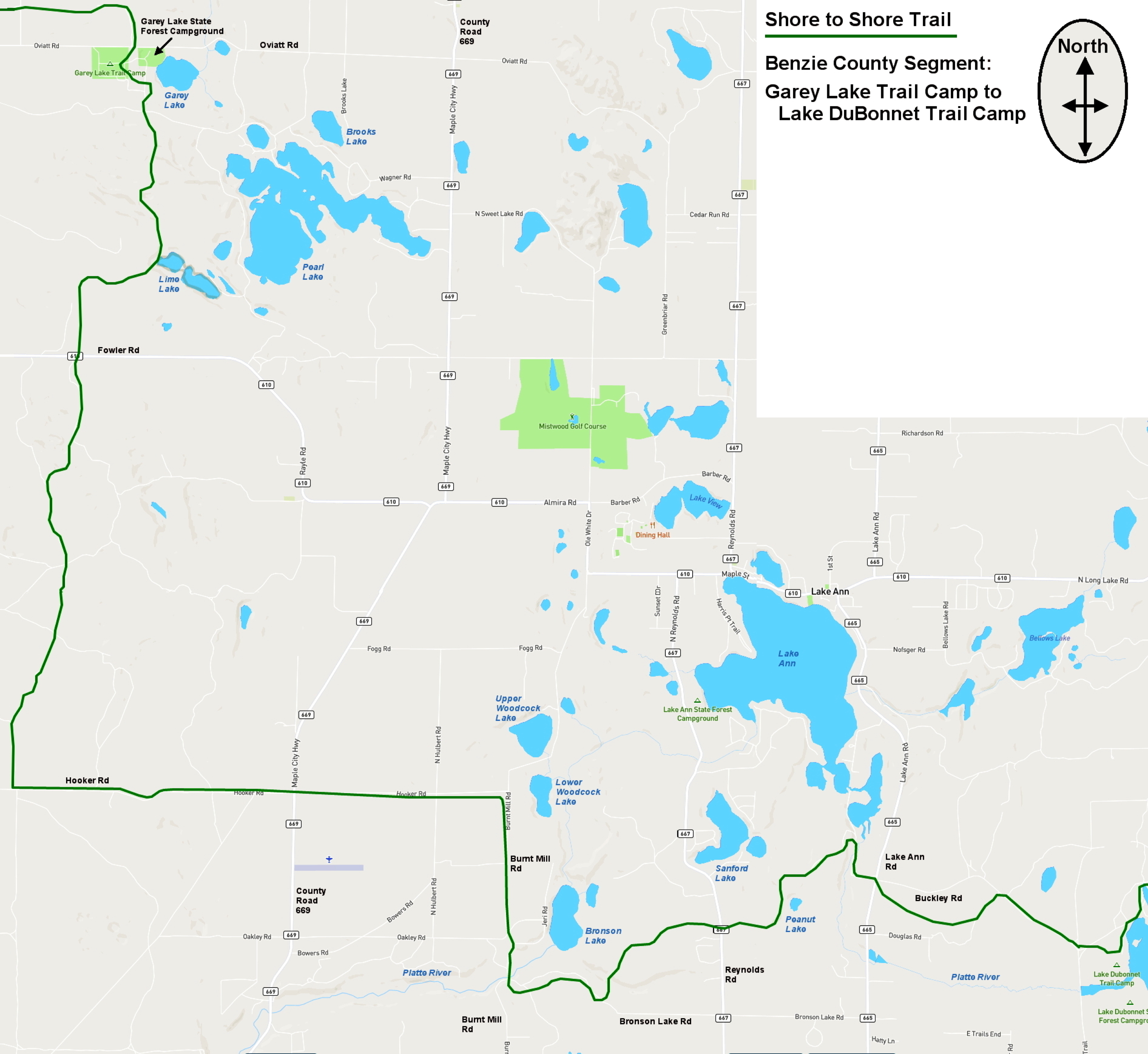
Shore-to-Shore Trail is also known as the Michigan Riding and Hiking Trail.
The trail is open to all users except bicyclists. Hikers and other users need
to be aware that the primary use of the trail is by horseback riders. Hikers should
wear good stout shoes or boots as the trail can be loose and sandy, or hard and bumpy,
both kept that way by regular horse traffic. Some of the single-tracks can be well
worn and include occasional exposed roots. Be mindful of other "attributes"
that can be found in the trail due to horse traffic.
This
Shore-to-Shore Trail is also known as the Michigan Riding and Hiking Trail.
The trail is open to all users except bicyclists. Hikers and other users need
to be aware that the primary use of the trail is by horseback riders. Hikers should
wear good stout shoes or boots as the trail can be loose and sandy, or hard and bumpy,
both kept that way by regular horse traffic. Some of the single-tracks can be well
worn and include occasional exposed roots. Be mindful of other "attributes"
that can be found in the trail due to horse traffic.







.jpeg)