ATI
CONSULTING
![]()
![]()
|
Benzie
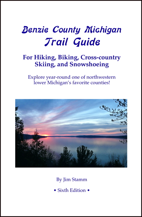
County Michigan Trail Guide |
|
||||||||
| HOME | |
|
SERVICES OFFERED |
|
| | Consulting and Support |
| | Web Site Design
and Domain Services |
|
COMPUTER & INTERNET RESOURCES |
|
| | Computer Resources |
| | Internet Resources |
| | Recommendations
For Healthy Computers |
| | Submit
Your Site to Search Engines |
BENZIE COUNTY, MICHIGAN RESOURCES |
|
| | Benzie
County Michigan Web Site Directory (separate site) |
| | Internet Service
Providers (ISPs) in the Benzie County Michigan Area |
OUTDOOR RESOURCES |
|
| | Canoe & Kayak Links |
| | Ebike Essentials |
| | NW Michigan River Guide |
| | NW Michigan Trail Guide |
| | Railroad Routes of NW MI |
BOOKS |
|
| | Benzie County Trails |
| | Benzie
County Rivers, Lakes, and Creeks |
| | Grand
Traverse and Leelanau Counties Rivers and Lakes |
| | The Savvy Paddler Recreational Kayaking |
|
|
|

|
|
|
WEB SITE ©
Copyright |

The Book
With the FOURTEENTH edition, the Benzie County Michigan Trail Guide provides the details for 35 trails in Benzie County for hiking, mountain biking, cross-country skiing, and snowshoeing. The Michigan Shore-to-Shore Trail is also used by horse riders. The Betsie Valley Trail is a former railroad with a long paved section that can also be used by road bikes and rollerblades. There are three paved township walking trails that can also be used for rollerblading. And four trails can also by used by Class 1 ebikes.
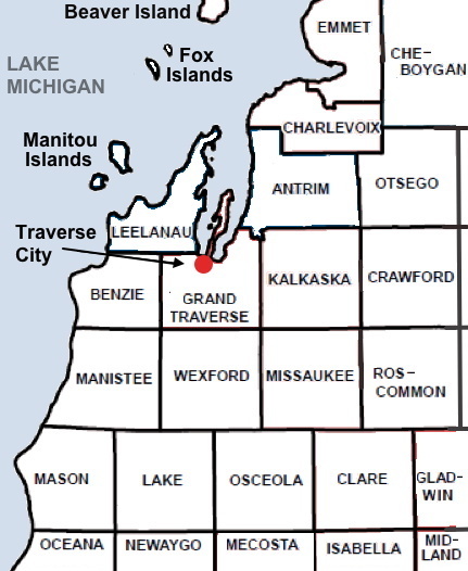
Included in the guide is a road map of Benzie County showing trailhead locations and the major roads around them. (For a much more detailed map in print, see the DeLorme Atlas & Gazetteer: Michigan, available direct from the publisher as well as Amazon and other online places. In fact, this map book will help with any of your Michigan explorations.)
Many details are provided for each trail, including: links to each trail's Web site and trail map; trail lengths, hiking times, and difficulty; GPS coordinates, detailed directions, and links to Google Maps for each trailhead; as well as helpful tips and comments.
Also, in the eleventh edition, I added a list of "Very Easy Trails for Those with Limited Mobility" tor those with limited walking capacity or mobility who seek easy, flat, wide, paved or crushed stone paths there are several of those, and some areas even have a dedicated U.A. (universally accessible) trail.
So,... besides some good hiking shoes and a good hat or cap, this is about all one should need to get out and "take a hike!" Keep this guide in your car or at your cottage for easy reference!
Availability...
This book is available at these fine establishments throughout the Benzie County area, as well as Glen Arbor, Leland, and Northport (Leelanau County) and Traverse City (Grand Traverse County)...
Benzonia
Backcast Fly Shop
Benzie Area Historical Museum
Winding River Campground
Beulah
Benzie Conservation District
Crystal Lake Adventure Sports
Frankfort
Crystal Lake Adventure Sports
Elizabeth Oliver Art Center
Frankfort Chamber
Frankfort Tackle Box
Point Betsie Lighthouse Gift Shop
The Book StoreGlen Arbor
The Cottage Book Shop
Honor
Riverside Canoe Trips
Lake Ann
Lake Ann Grocery
Leland
Leelanau Books
Northport
Dog Ears Books
Traverse City
Horizon BooksYou can also ask for it at your favorite bookstore they can order it. Although you are very much encouraged to shop locally, should it be needed, this book is also available online at Amazon.
This book is also available at the following libraries:
- Benzie County
- Benzonia Benzonia Public Library (d, e)
- Beulah Darcy Library (b, d)
- Frankfort Benzie Shores District Library (d, e)
- Thompsonville Betsie Valley District Library (e)
- Grand Traverse County
- Fife Lake Fife Lake Public Library (e)
- Kingsley Kingsley Public Library (e)
- Interlochen Interlochen Public Library (e)
- Traverse City
- East Bay Branch Library (e)
- Traverse Area District Library (e)
- Leelanau County
- Empire Glen Lake Community Library (e)
- Leland Leland Township Library (e)
- Suttons Bay Suttons Bay Bingham District Library (e)
Retailers...If you're in the Benzie County area, please contact me for wholesale arrangements. (Retailer window poster.)
If you're outside of Benzie County, the book is available via book distributors such as Ingram, Baker & Taylor and NACSCORP. The details for the book are: "Benzie County Michigan Trail Guide" by Jim Stamm ISBN-13: 978-1477501696, ISBN-10: 147750169X.
The Trails
The trails covered in the Benzie County Michigan Trail Guide are a great way to explore year-round one of northwestern lower Michigan's favorite counties. The trails travel along streams, rivers, inland lakes, as well as Lake Michigan overlooks, beaches, and bluffs. They travel through hills, woods, valleys, dunes, wetlands, and meadows. Some trails follow former railroads or logging roads, or go through former farms and orchards. Four of the trails are in the Sleeping Bear Dunes National Lakeshore. All encompass a myriad of plant and animal life and have something unique to offer.
|
View all Benzie County trailhead locations at once:
|
More Trails and Details
More Benzie Rivers, Lakes, and Creeks
More Rivers and Lakes Grand Traverse and Leelanau Counties
|
|